
Jereh Rural District, rural district in Fars, Iran
Location: Jereh and Baladeh District
GPS coordinates: 29.33333,51.93333
Latest update: April 6, 2025 12:12
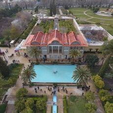
Eram Garden
66.5 km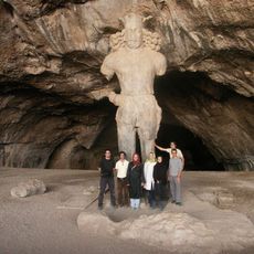
Colossal Statue of Shapur I
61.3 km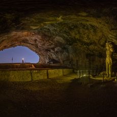
Shapur Cave
61.3 km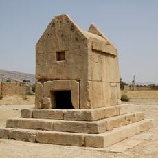
Gur-e Dokhtar
30.3 km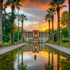
Afifabad Garden
63.6 km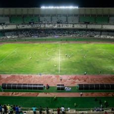
Pars Stadium
59.9 km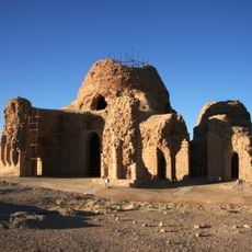
Sassanid Archaeological Landscape of Fars Region
60.7 km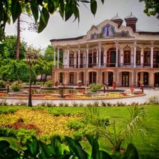
Shapuri House
66.5 km
Chamran Grand Hotel
65 km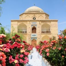
Bibi Dokhtaran Mausoleum
66.4 km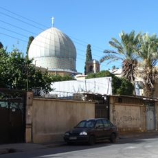
Saint Simon Church (Shiraz)
66.4 km
Kirche der Heiligen Muttergottes (Schiras)
65.6 km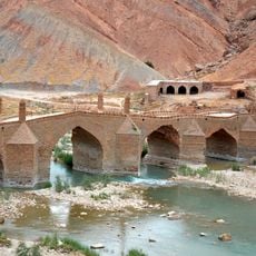
Moshir Bridge
59.6 km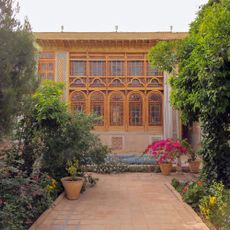
Forugh al-Molk Qavami House
66.4 km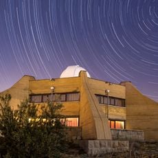
Abu Rayhan al-Biruni Observatory
65.6 km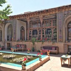
Manteghi Nezhad House
66.5 km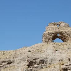
Jereh Fire Temple
5.3 km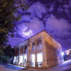
Armenian Church of Shiraz
66.2 km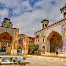
Moshir Mosque
66.2 km
Mansuriyeh Madrasa (Shiraz)
66.5 km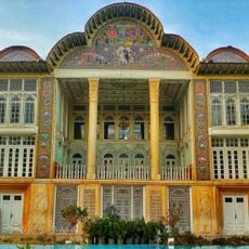
Eram Mansion
66.5 km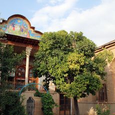
Sa'adat House (Shiraz)
66.1 km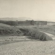
Chenar Rahdar Caravanserai
57.2 km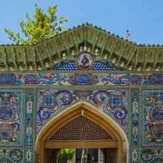
Imamzadeh Taj al-Din Gharib
65.8 km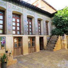
Salehi House (Shiraz)
66.3 km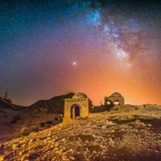
Naqareh Khaneh Chahartaq
65.5 km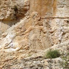
Sar Mashhad relief
23.4 km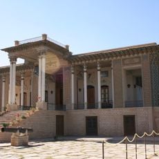
Afifabad Mansion
63.5 kmReviews
Visited this place? Tap the stars to rate it and share your experience / photos with the community! Try now! You can cancel it anytime.
Discover hidden gems everywhere you go!
From secret cafés to breathtaking viewpoints, skip the crowded tourist spots and find places that match your style. Our app makes it easy with voice search, smart filtering, route optimization, and insider tips from travelers worldwide. Download now for the complete mobile experience.

A unique approach to discovering new places❞
— Le Figaro
All the places worth exploring❞
— France Info
A tailor-made excursion in just a few clicks❞
— 20 Minutes