
Kita-Karuizawa, 群馬県長野原町の大字
Location: Naganohara
Inception: 1927
Elevation above the sea: 1,000 m
Website: http://kita-karuizawa.jp
GPS coordinates: 36.46639,138.59028
Latest update: March 26, 2025 15:39
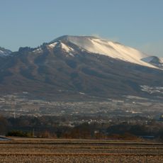
Mount Asama
9.9 km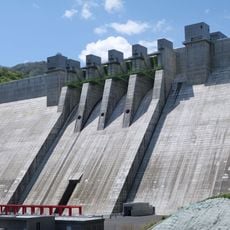
Yanba Dam
15 km
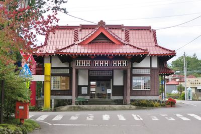
Former Mikasa Hotel
10.9 km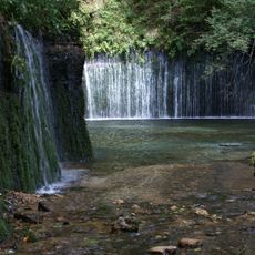
Shiraito Falls
6.3 km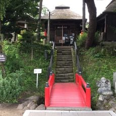
Kanbara Kannondō
6.7 km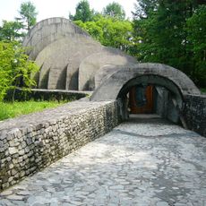
Uchimura Kanzo Memorial Stone Church
12.3 km
Karuizawa Taliesin
15 km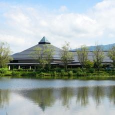
Karuigzawa Ohga Hall
14.1 km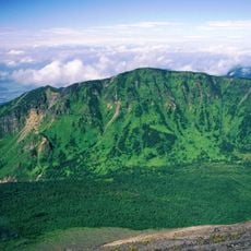
Mount Kurofu
11.4 km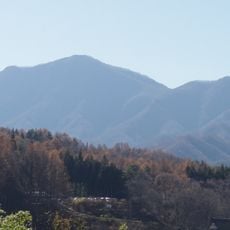
Mount Asamakakushi
5.7 km
Sezon Museum of Modern Art
10.8 km
Takamine Highlands
12.4 km
軽井沢安東美術館
14 km
Musée Peynet
15.3 km
Le Vent Museum of Contemporary Art
15.5 km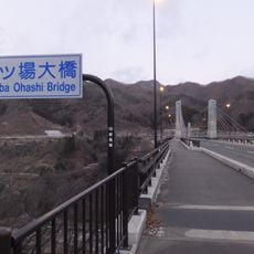
Yanba Ōhashi Bridge
14.2 km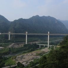
Fudō Ōhashi Bridge
12.4 km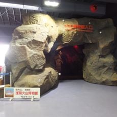
Asama Volcano Museum
5.7 km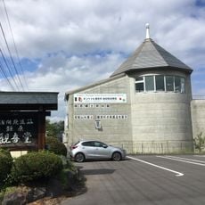
Tsumagoi History Museum
6.7 km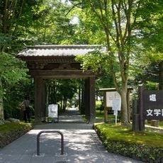
Hori Tatsuo Literature Museum
14.8 km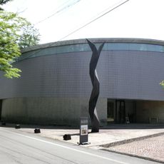
Wakita Museum of Art
13.4 km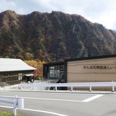
Yamba Tenmei Mudflow Museum
11.8 km
Kouko Fukazawa Nonohana Flower Museum
15.1 km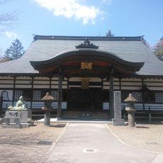
Jingū-ji
12.5 km
Maedagō
11.1 km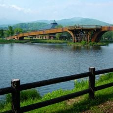
矢ケ崎大橋
14.2 km
Petit Museum Karuizawa Kusabanakan
13.9 km
Karuizawa Information Bureau for Tourists
12.6 kmReviews
Visited this place? Tap the stars to rate it and share your experience / photos with the community! Try now! You can cancel it anytime.
Discover hidden gems everywhere you go!
From secret cafés to breathtaking viewpoints, skip the crowded tourist spots and find places that match your style. Our app makes it easy with voice search, smart filtering, route optimization, and insider tips from travelers worldwide. Download now for the complete mobile experience.

A unique approach to discovering new places❞
— Le Figaro
All the places worth exploring❞
— France Info
A tailor-made excursion in just a few clicks❞
— 20 Minutes