Mount Amigasa, Mountain summit in Hokuto and Fujimi, Japan
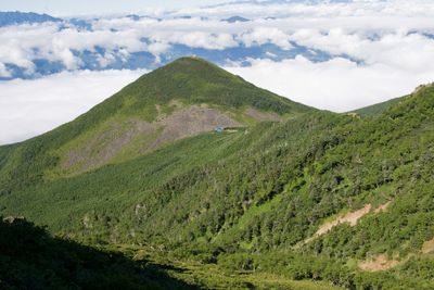
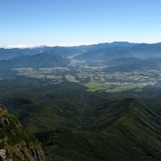
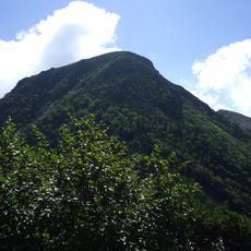
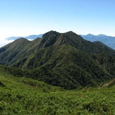
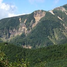
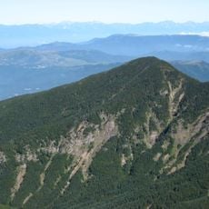
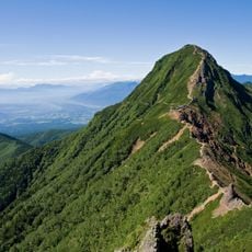
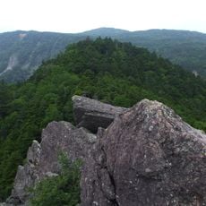
Mount Amigasa stands at 2523 meters (8277 feet) within the Yatsugatake mountain range, spanning across Yamanashi and Nagano prefectures. The terrain transitions from forested lower sections to rocky and exposed areas near the summit, with chains and trail markers providing guidance through the steep passages.
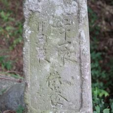
The mountain has been a climbing destination for centuries, with stone markers and monuments positioned along the trails documenting generations of mountaineering activity in the region. These remnants show the long history of human visitation and exploration on the peak.
Hikers from nearby areas often gather here to climb together, creating regular connections among outdoor enthusiasts who share a passion for mountain exploration. The summit attracts a steady stream of visitors who appreciate the challenging terrain and the sense of accomplishment upon reaching the top.
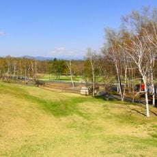
The climb starts from Kannondaira parking lot at 1560 meters (5118 feet), where clearly marked trails guide visitors through forested sections toward the summit. Proper equipment and physical preparation are important, as the upper portions involve steep terrain and exposed rocky passages that require careful footing.
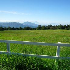
From the summit, visitors enjoy clear views of Mount Fuji, the Southern Alps, and numerous snow-capped peaks surrounding the area. Metal chains installed throughout the boulder fields help climbers navigate safely through the rocky terrain.
The community of curious travelers
AroundUs brings together thousands of curated places, local tips, and hidden gems, enriched daily by 60,000 contributors worldwide.