Mount Gerizim, Sacred mountain in Nablus Governorate, Palestine
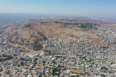
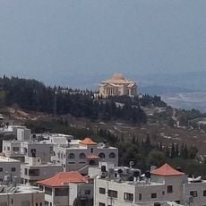
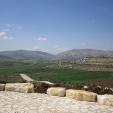
Mount Gerizim is a mountain with multiple peaks in the Nablus region that rises sharply from the surrounding landscape and provides wide views of the area below. The slopes are dotted with vegetation and springs, while the upper reaches hold a small settlement with traditional buildings and a sanctuary used by the Samaritan people.
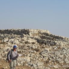
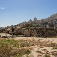
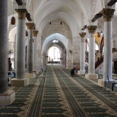
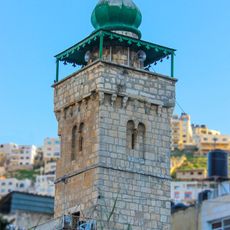
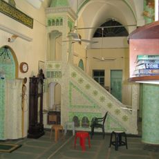
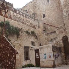
The mountain served as a major settlement site in ancient times with remains showing occupation across multiple historical periods from Greek to Islamic eras. Fortifications and structures were built there reflecting the strategic importance the location held throughout history.
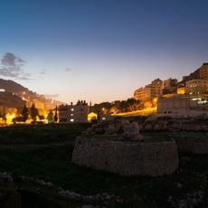
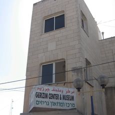
The Samaritan community gathers here during their major religious festivals to perform sacred ceremonies that have been passed down through generations. The village of Kiryat Luza at the summit maintains distinct customs and worship practices that set its people apart from other communities in the region.
The mountain can be reached by several paths that are marked and lead toward the summit or the village area. Plan to spend time on the climb and bring water with you, as the terrain is exposed in places and shade is limited.
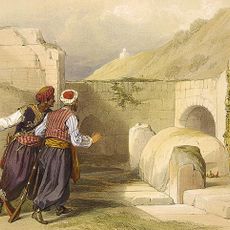
A large rock formation on the mountain is connected by the Samaritan community to a major biblical story in a way that differs from other religious traditions. This alternative account makes the site a testament to how the same narratives are understood differently across different faiths.
The community of curious travelers
AroundUs brings together thousands of curated places, local tips, and hidden gems, enriched daily by 60,000 contributors worldwide.