
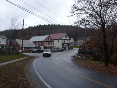
Jacksonville, village in Vermont, United States
Location: Whitingham
Location: Wilmington
Elevation above the sea: 414 m
GPS coordinates: 42.79694,-72.82167
Latest update: March 12, 2025 02:23
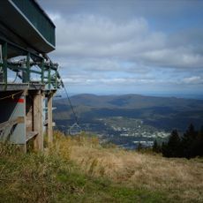
Mount Snow
19.9 km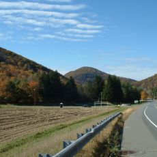
Mohawk Trail
20.5 km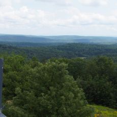
Hogback Mountain
8.3 km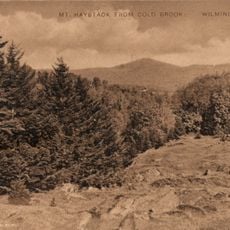
Haystack Mountain
15.3 km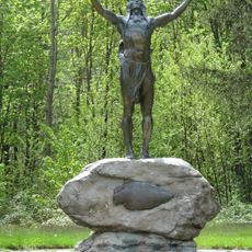
Hail To The Sunrise Statue
19 km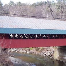
Creamery Covered Bridge
20.1 km
Pocumtuck Mountain
16.6 km
Molly Stark State Park
6.1 km
Woodford State Park
20.5 km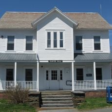
Heath Center Historic District
13.8 km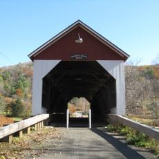
Arthur A. Smith Covered Bridge
16.4 km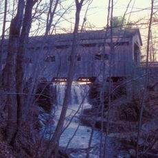
Bissell Bridge
18.7 km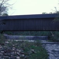
Green River Covered Bridge
12.8 km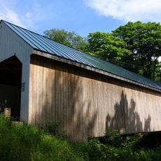
Williamsville Covered Bridge
19.6 km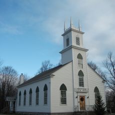
Dover Town Hall
16.4 km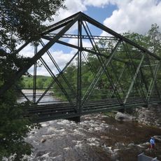
Medburyville Bridge
11.5 km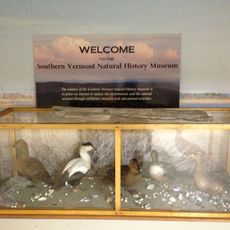
Southern Vermont Natural History Museum
6.7 km
William Harris House
19.9 km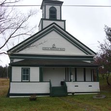
Whitingham Village Historic District
4.8 km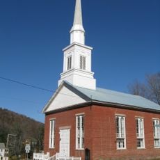
Colrain Center Historic District
17.1 km
Tudor House
20.9 km
Wilmington Village Historic District
9.1 km
Guilford Center Meetinghouse
16 km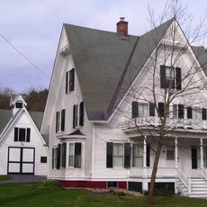
Lewis Grout House
19.1 km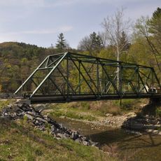
South Newfane Bridge
18.3 km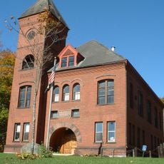
Charlemont Village Historic District
19.3 km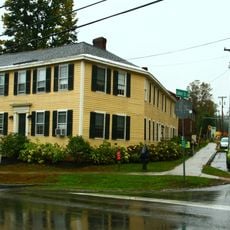
Tontine Building
20.4 km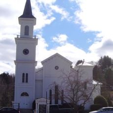
West Brattleboro Green Historic District
19.1 kmReviews
Visited this place? Tap the stars to rate it and share your experience / photos with the community! Try now! You can cancel it anytime.
Discover hidden gems everywhere you go!
From secret cafés to breathtaking viewpoints, skip the crowded tourist spots and find places that match your style. Our app makes it easy with voice search, smart filtering, route optimization, and insider tips from travelers worldwide. Download now for the complete mobile experience.

A unique approach to discovering new places❞
— Le Figaro
All the places worth exploring❞
— France Info
A tailor-made excursion in just a few clicks❞
— 20 Minutes