Shakopee Historic District, historic district in Minnesota, United States
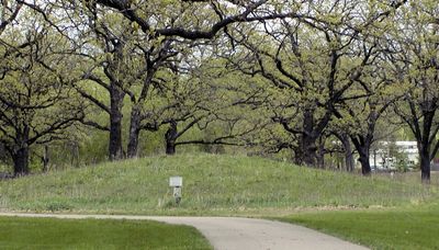
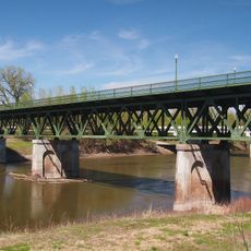
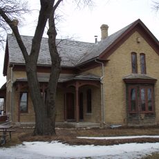
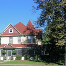
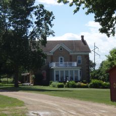
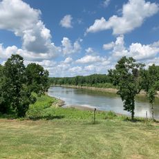
The Shakopee Historic District is a historic area in Minnesota covering about 76 acres along the south side of the Minnesota River, spanning different periods of human settlement. The site features Native American burial mounds over 2,000 years old, along with later European structures including the Faribault house from 1844 and a historic gristmill built in 1875.
Native American settlement in the region stretches back at least 2,000 years, with burial mounds and villages led by Chief Shakopee II, whose name became that of the entire city. European settlement began in the 1840s with Oliver Faribault, while later pioneers, a gristmill built in 1875, and the arrival of railroad lines in the 1860s transformed the area.
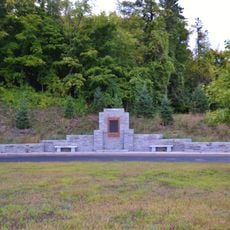
The district carries strong ties to the Dakota people, particularly through the memory of Chief Shakopee II and his community who called this place Tinta Otunwe, meaning 'village of the prairies'. Street names, monuments, and restored structures keep alive the traditions and presence of those who shaped this land for centuries.
The district covers a large area and is best explored on foot, with paths leading through burial mounds and restored buildings. Visitors should wear comfortable shoes and allow time to move slowly through the various stations and exhibits.
The area was the site of the Battle of Shakopee in 1858, when Ojibwe warriors attacked the Dakota village, a conflict that is less well known today but reveals the complex history of regional rivalries. The attack marked a turning point, yet the place remained an important gathering point for surrounding communities.
The community of curious travelers
AroundUs brings together thousands of curated places, local tips, and hidden gems, enriched daily by 60,000 contributors worldwide.