
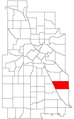
Howe, neighborhood of Minneapolis, Minnesota, United States
Location: Minneapolis
Shares border with: Longfellow, Hiawatha, Cooper, Corcoran, Standish
GPS coordinates: 44.93780,-93.21550
Latest update: March 17, 2025 15:34
Minnehaha Park
2.1 km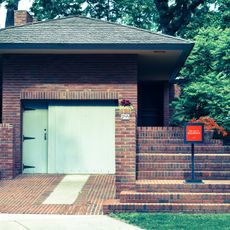
Malcolm Willey House
2.6 km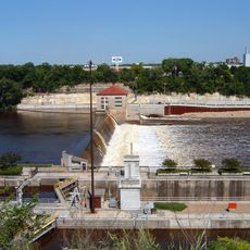
Lock and Dam No. 1
2.8 km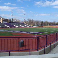
O'Shaughnessy Stadium
2 km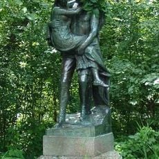
Hiawatha and Minnehaha
2.5 km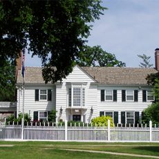
Eastcliff
1.7 km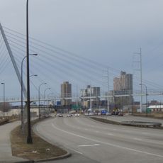
Martin Olav Sabo Bridge
2.8 km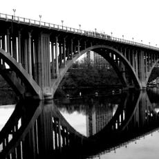
Intercity Bridge
2.5 km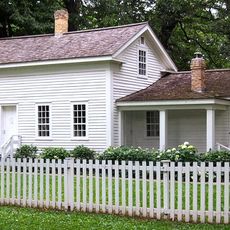
John Harrington Stevens House
2.7 km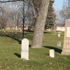
Minneapolis Pioneers and Soldiers Memorial Cemetery
2.7 km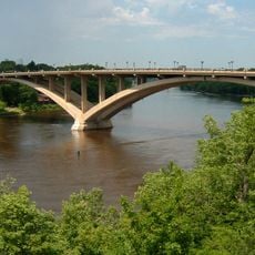
Lake Street-Marshall Bridge
1.6 km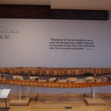
American Museum of Asmat Art
2 km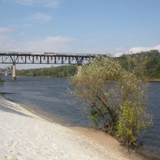
Short Line Bridge
2.1 km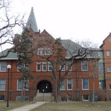
Minnesota Veterans Home
3 km
Minnehaha Falls Lower Glen Trail
2.6 km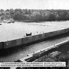
Meeker Island Lock and Dam
1.9 km
East Lake Library
1.6 km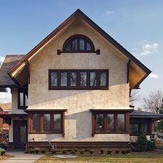
Dr. Ward Beebe House
2.4 km
Derham Hall and Our Lady of Victory Chapel, College of Saint Catherine
2.8 km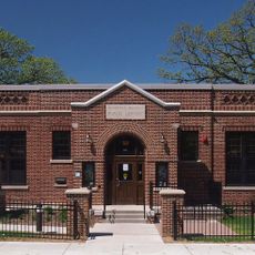
Roosevelt Library
1.6 km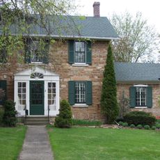
Frederick Spangenberg House
1.9 km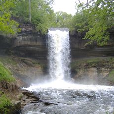
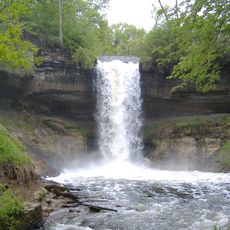
Minnehaha Falls
2.6 km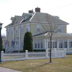
Longfellow House
2.4 km
Lake Hiawatha Park
2.2 km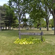
Longfellow Park
421 m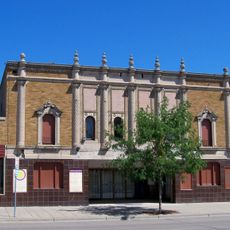
El Lago Theatre
1.3 km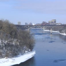
Mississippi Gorge Park
1.1 km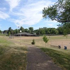
Sibley Park
2.4 kmReviews
Visited this place? Tap the stars to rate it and share your experience / photos with the community! Try now! You can cancel it anytime.
Discover hidden gems everywhere you go!
From secret cafés to breathtaking viewpoints, skip the crowded tourist spots and find places that match your style. Our app makes it easy with voice search, smart filtering, route optimization, and insider tips from travelers worldwide. Download now for the complete mobile experience.

A unique approach to discovering new places❞
— Le Figaro
All the places worth exploring❞
— France Info
A tailor-made excursion in just a few clicks❞
— 20 Minutes