
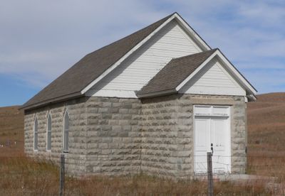
Dry Valley Church and Cemetery
Dry Valley Church and Cemetery, place in Nebraska listed on National Register of Historic Places
Location: Cherry County
GPS coordinates: 42.26372,-101.08569
Latest update: September 25, 2025 17:42
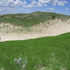
Nebraska Sand Hills Mixed Grasslands
92.3 km
Spade Ranch
82.9 km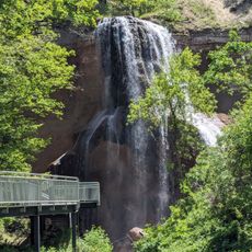
Smith Falls
93.9 km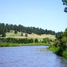
Niobrara National Scenic River
93.4 km
Valentine National Wildlife Refuge
49.3 km
Fort Niobrara National Wildlife Refuge
86.1 km
St. Francis Mission
107.4 km
Pilgrim Holiness Church
91.9 km
First Arthur County Courthouse and Jail
92 km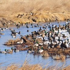
Lacreek National Wildlife Refuge
101.6 km
Niobrara Valley Preserve
104.3 km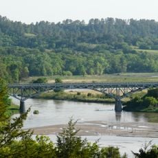
Bryan Bridge
78.1 km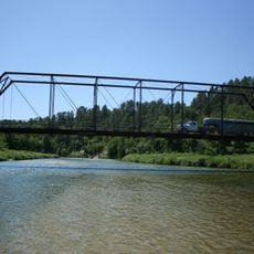
Brewer Bridge
95.7 km
Bell Bridge
94.1 km
Cherry County Courthouse
81 km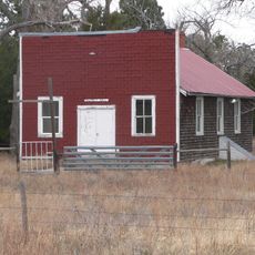
Rackett Grange Hall No. 318
114.1 km
Valentine Public School
81.1 km
Adamson Bridge
69.4 km
Borman Bridge
80.2 km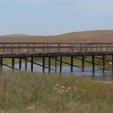
Twin Bridge
27.8 km
Berry State Aid Bridge
92.5 km
Inland Theater
114.5 km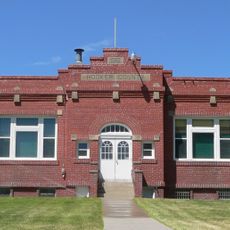
Hooker County Courthouse
24.9 km
F.M. Walcott House
80.9 km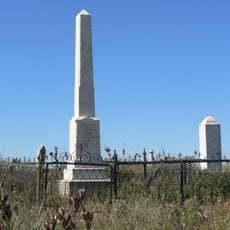
Spotted Tail Gravesite
110.5 km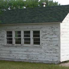
District No. 119 North School
101 km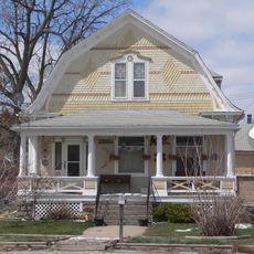
Lee and Gottliebe Fritz House
109.7 km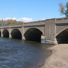
Sutherland State Aid Bridge
117.4 kmReviews
Visited this place? Tap the stars to rate it and share your experience / photos with the community! Try now! You can cancel it anytime.
Discover hidden gems everywhere you go!
From secret cafés to breathtaking viewpoints, skip the crowded tourist spots and find places that match your style. Our app makes it easy with voice search, smart filtering, route optimization, and insider tips from travelers worldwide. Download now for the complete mobile experience.

A unique approach to discovering new places❞
— Le Figaro
All the places worth exploring❞
— France Info
A tailor-made excursion in just a few clicks❞
— 20 Minutes