
Horsepen Flood Control Structure Dam, dam in Loudoun County, Virginia, United States of America

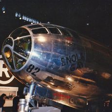
Enola Gay
9 km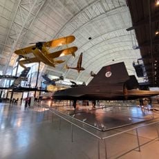
Steven F. Udvar-Hazy Center
9 km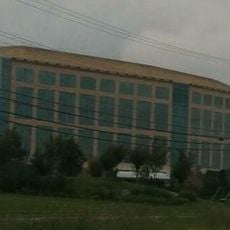
CIA University
8.7 km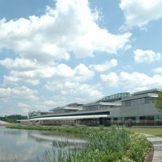
Janelia Research Campus
9.1 km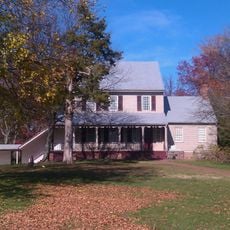
Sully Historic Site
11.2 km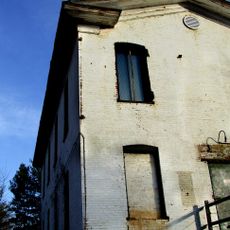
A. Smith Bowman Distillery
10.6 km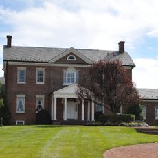
Belmont Manor House
9.1 km
McKee-Beshers Wildlife Management Area
11.4 km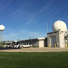
National Weather Service Baltimore/Washington
2.2 km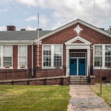
Arcola Elementary School
7.7 km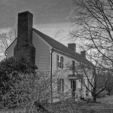
Dranesville Tavern
9.4 km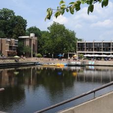
Lake Anne Village Center Historic District
11.1 km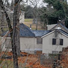
Broad Run Bridge and Tollhouse
6.9 km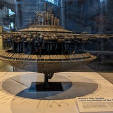
Donald D. Engen Observation Tower
8.9 km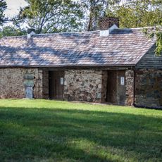
Arcola Slave Quarters
7.1 km
Fleetwood Farm
8.3 km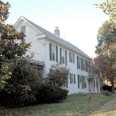
Merrybrook
6.3 km
Herndon Historic District
7.5 km
Ashburn Presbyterian Church
5.7 km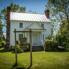
Vestal's Gap Road and Lanesville Historic District
6.3 km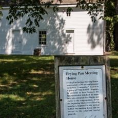
Frying Pan Meetinghouse
7.2 km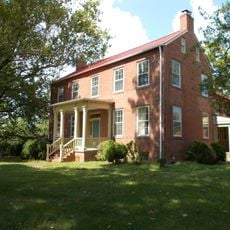
Bloomfield
9.5 km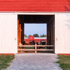
Floris Historic District
7.7 km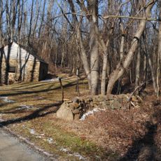
Francis–Gulick Mill
8.9 km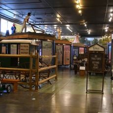
Loudoun Heritage Farm Museum
6.2 km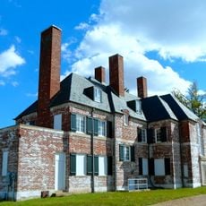
Janelia
8.9 km
Ray Muth Sr. Memorial Park
5 km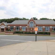
Cascades Library
7.9 kmReviews
Visited this place? Tap the stars to rate it and share your experience / photos with the community! Try now! You can cancel it anytime.
Discover hidden gems everywhere you go!
From secret cafés to breathtaking viewpoints, skip the crowded tourist spots and find places that match your style. Our app makes it easy with voice search, smart filtering, route optimization, and insider tips from travelers worldwide. Download now for the complete mobile experience.

A unique approach to discovering new places❞
— Le Figaro
All the places worth exploring❞
— France Info
A tailor-made excursion in just a few clicks❞
— 20 Minutes