Loudoun County

Log in to your account

AroundUs is a community-driven map of interesting places, built by curious explorers like you. It grows with every review, story, and photo you share.
Connect to save your favorite spots, contribute locations, and create personalized routes.
Continue with Google
Continue with Apple
Continue with X
Continue with Facebook
Continue with email
By continuing, you accept our Terms and Conditions and our Privacy Policy
Create an account
Add to collection
Map
Suggest a change
Share

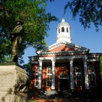
Loudoun County, Administrative county in Northern Virginia, US

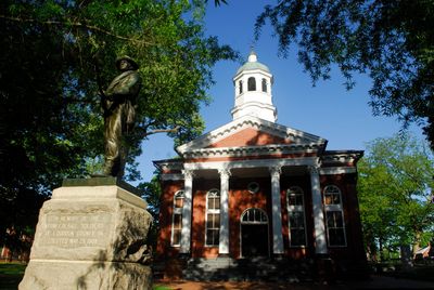
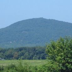
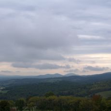
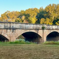
Loudoun County sits in northern Virginia, stretching from the Potomac River westward toward the Blue Ridge Mountains. The landscape shifts from rolling farmland and vineyards in the west to more developed suburbs closer to the capital.

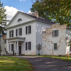
The territory was formed in 1757 when it separated from Fairfax County, taking its name from John Campbell, Fourth Earl of Loudoun. Campbell served as the royal governor of colonial Virginia during the Seven Years' War.

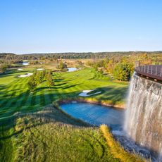
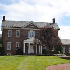
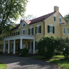
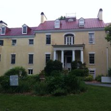
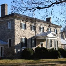
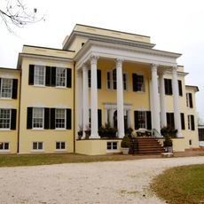
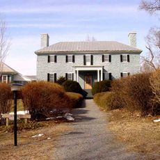
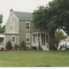
Local wineries invite travelers to taste wines from grapes grown in the rolling hills between Washington and the mountains. Horse farms and stables dot the countryside, reflecting a way of life that blends rural tradition with modern suburban growth.

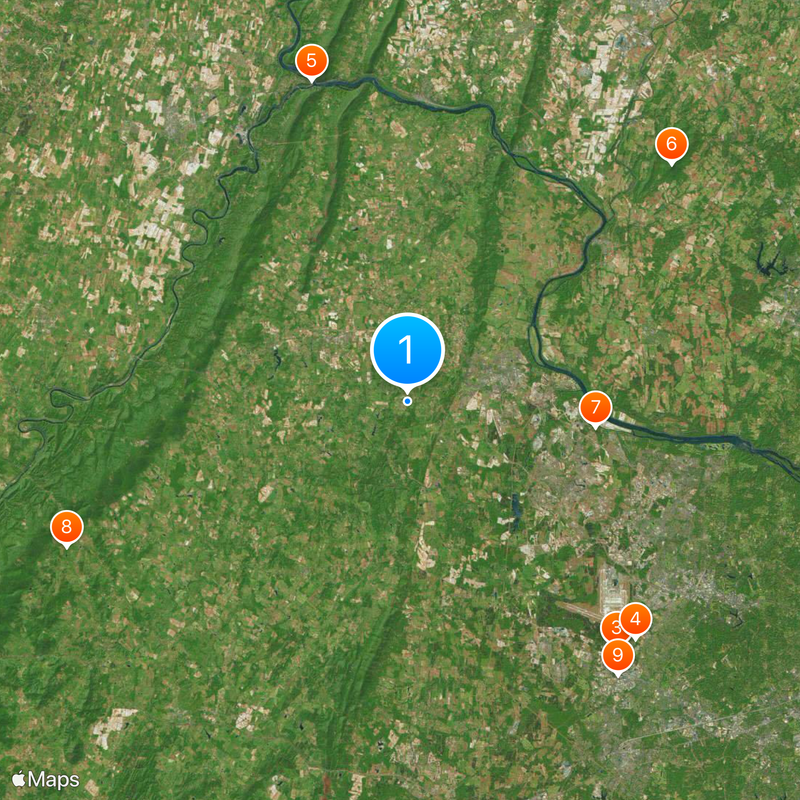
Most points of interest lie along the main roads heading west toward the mountains and vineyards. The area is easiest to explore by car, as public transit options are limited outside the eastern suburbs.

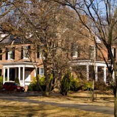
In just a few decades, the area shifted from mostly farmland to one of the fastest-growing residential zones in Virginia. Today it is home to over 420,000 people, though it remained largely rural until the late 20th century.

Location: Virginia

Inception: 1757

Capital city: Leesburg

Part of: Arlington–Alexandria–Reston metropolitan division

Shares border with: Frederick County, Washington County, Montgomery County, Fairfax County, Prince William County, Fauquier County, Clarke County, Jefferson County

Website: http://loudoun.gov

GPS coordinates: 39.09000,-77.64000

Latest update: December 14, 2025 22:54

Photos
Around this place
Enola Gay
United States of America

Enola Gay

26.2 km
Steven F. Udvar-Hazy Center
United States of America

Steven F. Udvar-Hazy Center

26.1 km
CIA University
United States of America

CIA University

26.6 km
Harpers Ferry National Historical Park
United States of America

Harpers Ferry National Historical Park

27 km
Sugar Loaf Mountain
United States of America

Sugar Loaf Mountain

28.7 km
Janelia Research Campus
United States of America

Janelia Research Campus

15.3 km
Sky Meadows State Park
United States of America

Sky Meadows State Park

29.9 km
Sully Historic Site
United States of America

Sully Historic Site

27.9 km
A. Smith Bowman Distillery
United States of America

A. Smith Bowman Distillery

29 km
United States of America

National Firearms Museum

36.5 km
Trump National Golf Club
United States of America

Trump National Golf Club

25.7 km
Jefferson Rock
United States of America

Jefferson Rock

27.1 km
B & O Railroad Potomac River Crossing
United States of America

B & O Railroad Potomac River Crossing

27.2 km
Ball's Bluff Battlefield and National Cemetery
United States of America

Ball's Bluff Battlefield and National Cemetery

10.6 km
Belmont Manor House
United States of America

Belmont Manor House

13.1 km
Seneca Quarry
United States of America

Seneca Quarry

24.8 km
Dodona Manor
United States of America

Dodona Manor

7.2 km
Claymont Court
United States of America

Claymont Court

30.1 km
Harewood
United States of America

Harewood

33.6 km
Monocacy Aqueduct
United States of America

Monocacy Aqueduct

22 km
Oatlands Plantation
United States of America

Oatlands Plantation

5.8 km
United States of America

Journey Through Hallowed Ground National Heritage Area

11.2 km
Holy Cross Abbey, Virginia
United States of America

Holy Cross Abbey, Virginia

21.4 km
Carrollton Manor
United States of America

Carrollton Manor

29.9 km
Rockland
United States of America

Rockland

12.3 km
Ox Hill Battlefield Park
United States of America

Ox Hill Battlefield Park

34.3 km
Happy Retreat
United States of America

Happy Retreat

28.6 km
United States of America

Frying Pan Farm Park

26.2 km
Show the full map
Reviews

Visited this place? Tap the stars to rate it and share your experience / photos with the community! Try now! You can cancel it anytime.

Administrative divisions
« Loudoun County - Administrative county in Northern Virginia, US » is provided by Around Us (aroundus.com). Images and texts are derived from Wikimedia project under a Creative Commons license. You are allowed to copy, distribute, and modify copies of this page, under the conditions set by the license, as long as this note is clearly visible.

Discover hidden gems everywhere you go!

From secret cafés to breathtaking viewpoints, skip the crowded tourist spots and find places that match your style. Our app makes it easy with voice search, smart filtering, route optimization, and insider tips from travelers worldwide. Download now for the complete mobile experience.

Around Us App Screenshot

A unique approach to discovering new places

Le Figaro

All the places worth exploring

France Info

A tailor-made excursion in just a few clicks

20 Minutes