Allegany County

Log in to your account

AroundUs is a community-driven map of interesting places, built by curious explorers like you. It grows with every review, story, and photo you share.
Connect to save your favorite spots, contribute locations, and create personalized routes.
Continue with Google
Continue with Apple
Continue with X
Continue with Facebook
Continue with email
By continuing, you accept our Terms and Conditions and our Privacy Policy
Create an account
Add to collection
Map
Suggest a change
Share

Allegany County, County in Western Maryland, United States

Allegany County is a county in Western Maryland featuring mountainous terrain, river valleys, and forested areas spread across its landscape. The region includes the town of Cumberland as its administrative center, along with smaller communities and rural areas connected by local roads and historic routes.

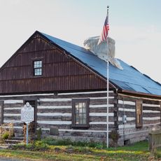
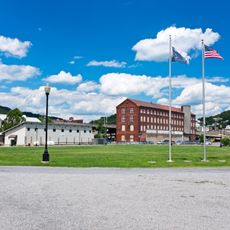
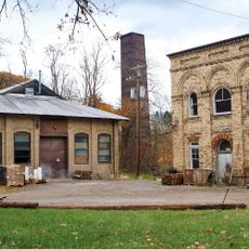
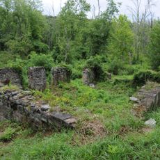
The county was founded in 1789 following the division of an earlier administrative area and served as a key route westward during American expansion. Railroad construction in the 1800s transformed its economy and settlement patterns, making it a center for transportation and trade activity.

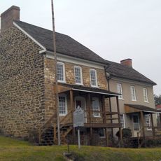
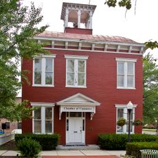
The railroad heritage runs through the community's identity, visible in restored stations and period buildings scattered across towns. This transportation history shaped how settlements developed and how people still think about connection and movement today.

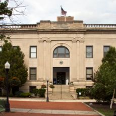
Cumberland provides shops, dining options, and museums for visitors exploring the downtown area. Spring through fall offers the most comfortable weather for outdoor activities like hiking and sightseeing throughout the county.

The highest elevation in the county offers sweeping views across state borders from its summit, making it a sought-after destination for hikers seeking panoramic perspectives. Few visitors realize how much territory becomes visible from this single vantage point.

Location: Maryland

Inception: 1789

Capital city: Cumberland

Shares border with: Somerset County, Bedford County, Fulton County, Washington County, Morgan County, Hampshire County, Mineral County, Garrett County

Website: https://alleganygov.org

GPS coordinates: 39.63000,-78.69000

Latest update: December 15, 2025 13:21

Photos
Around this place
Rocky Gap State Park
United States of America

Rocky Gap State Park

9.4 km
Green Ridge State Forest
United States of America

Green Ridge State Forest

21.5 km
Dans Mountain
United States of America

Dans Mountain

18.6 km
Fort Ashby
United States of America

Fort Ashby

15.3 km
Stone Cottage
United States of America

Stone Cottage

19.9 km
Canal Place
United States of America

Canal Place

6.7 km
Inns on the National Road
United States of America

Inns on the National Road

16.4 km
B'er Chayim Temple
United States of America

B'er Chayim Temple

6.5 km
Downtown Cumberland Historic District
United States of America

Downtown Cumberland Historic District

6.5 km
Wills Mountain State Park
United States of America

Wills Mountain State Park

8.8 km
La Vale Tollgate House
United States of America

La Vale Tollgate House

13.9 km
Washington Street Historic District
United States of America

Washington Street Historic District

7.3 km
Allegany County Courthouse
United States of America

Allegany County Courthouse

7 km
United States of America

Pin Oak Fountain

29.5 km
Town Clock Church
United States of America

Town Clock Church

6.8 km
Breakneck Road Historic District
United States of America

Breakneck Road Historic District

8.5 km
Michael Cresap House
United States of America

Michael Cresap House

11.9 km
Waverly Street Bridge
United States of America

Waverly Street Bridge

34.1 km
Public Safety Building
United States of America

Public Safety Building

6.7 km
Cumberland YMCA
United States of America

Cumberland YMCA

6.4 km
African Methodist Episcopal Church
United States of America

African Methodist Episcopal Church

6.7 km
Bell Tower Building
United States of America

Bell Tower Building

6.8 km
Mount Savage Historic District
United States of America

Mount Savage Historic District

17.9 km
Folck's Mill
United States of America

Folck's Mill

5.6 km
Greene Street Historic District
United States of America

Greene Street Historic District

7.5 km
City Hall
United States of America

City Hall

6.7 km
Phoenix Mill Farm
United States of America

Phoenix Mill Farm

9 km
First Baptist Church
United States of America

First Baptist Church

6.8 km
Show the full map
Reviews

Visited this place? Tap the stars to rate it and share your experience / photos with the community! Try now! You can cancel it anytime.

« Allegany County - County in Western Maryland, United States » is provided by Around Us (aroundus.com). Images and texts are derived from Wikimedia project under a Creative Commons license. You are allowed to copy, distribute, and modify copies of this page, under the conditions set by the license, as long as this note is clearly visible.

Discover hidden gems everywhere you go!

From secret cafés to breathtaking viewpoints, skip the crowded tourist spots and find places that match your style. Our app makes it easy with voice search, smart filtering, route optimization, and insider tips from travelers worldwide. Download now for the complete mobile experience.

Around Us App Screenshot

A unique approach to discovering new places

Le Figaro

All the places worth exploring

France Info

A tailor-made excursion in just a few clicks

20 Minutes