St. Joseph Neighborhood Historic District, Historic district in downtown Indianapolis, United States.
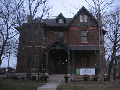
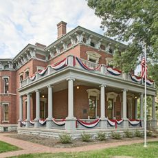
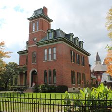
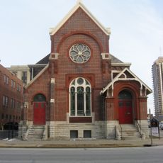
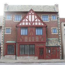
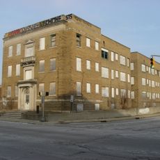
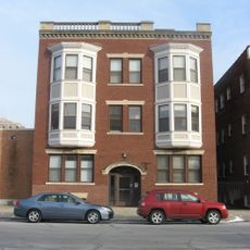
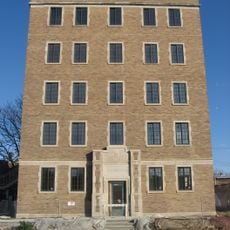
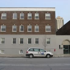
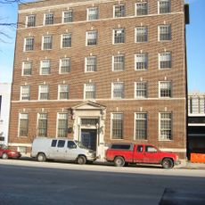
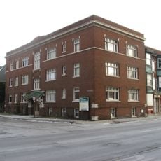
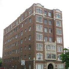
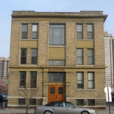
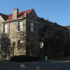
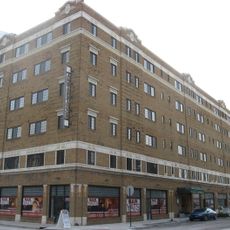
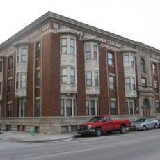
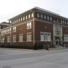
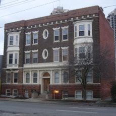
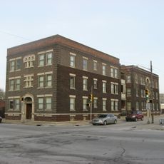
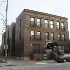
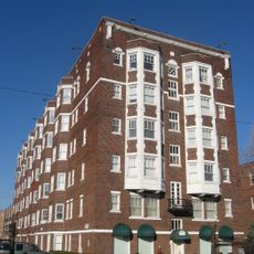
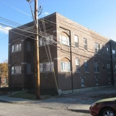
The St. Joseph Neighborhood Historic District is a downtown area in Indianapolis containing 57 buildings spread across 18 acres that display architecture from the 19th century. The structures blend Queen Anne and Italianate styles and form a connected area running between St. Clair, Delaware, and Eleventh Streets, extending toward Central and Fort Wayne Avenues.
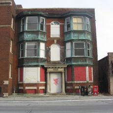
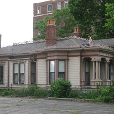
The area developed steadily from 1855 to 1930 as residences, shops, and rowhouses were built, reflecting city life of that period. The district gained official recognition on the National Register of Historic Places in 1991, with structures like the Bals-Wocher House and William Buschmann Block becoming protected landmarks.
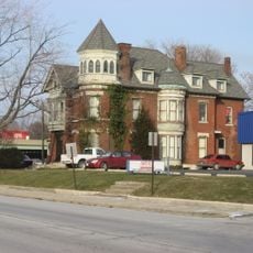
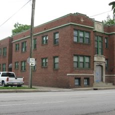
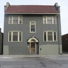
The neighborhood's buildings tell the story of how residents lived across different periods, with structures like the Apollo-Aurora Rowhouses and the Lorenzo Moody House showing the design choices of their time. Walking through, you see how families and businesses shaped the area through the homes and shops they built.
The district is easy to explore on foot, with brick-paved streets that preserve the historic feel and make navigation straightforward. The location offers direct access to other downtown attractions, allowing visitors to combine exploration of the area with nearby points of interest.
The area still preserves original brick pavement from the 19th century on several streets, having been hidden under modern asphalt and later uncovered. This authentic surface is rare in urban settings and gives visitors a genuine sense of what streets looked like back then.
The community of curious travelers
AroundUs brings together thousands of curated places, local tips, and hidden gems, enriched daily by 60,000 contributors worldwide.