Indianapolis

Log in to your account

AroundUs is a community-driven map of interesting places, built by curious explorers like you. It grows with every review, story, and photo you share.
Connect to save your favorite spots, contribute locations, and create personalized routes.
By continuing, you accept our Terms and Conditions and our Privacy Policy
Add to collection
Map
Suggest a change
Share

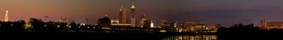
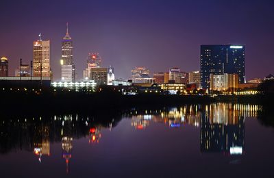
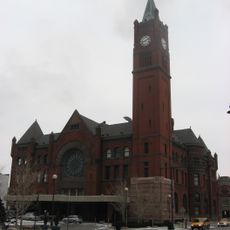
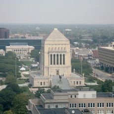
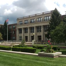
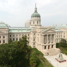
Indianapolis, Capital city in Marion County, United States.

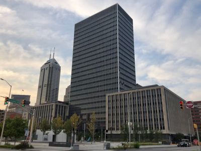
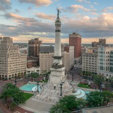
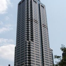
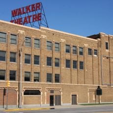
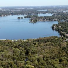
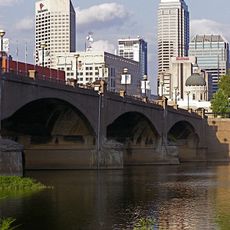
The city spreads across central Indiana in a grid of broad avenues radiating from Monument Circle, where downtown towers rise above older blocks of brick buildings. Neighborhoods like Broad Ripple to the north and Fountain Square to the southeast maintain their own commercial strips and residential streets, connected by tree-lined boulevards and greenways along the water.

Two planners laid out the settlement in 1821 on farmland chosen to become the new state capital, replacing earlier temporary seats of government. The arrival of railroads in the mid-1800s transformed the modest town into a regional hub for manufacturing and trade, drawing workers from surrounding farms and distant states.

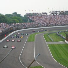
Throughout May, racing enthusiasts gather in neighborhoods near the speedway to host backyard parties and hang banners celebrating the month-long motorsport festival. On summer weekends, residents head to the riverfront greenways and downtown canal walk, where food vendors set up tables and local bands play beneath the bridges.

An international airport east of downtown provides direct connections to major cities, while several interstate highways loop around and through the central districts. The downtown core is walkable, especially around the central circle and along the canal, though many neighborhoods spread far enough to make a car or rideshare helpful for reaching outer districts.

The local children's museum houses a spiral staircase entirely covered in glass mosaic tiles that climbs more than 130 feet (40 meters) inside the building. Below the motor speedway, old tunnels and maintenance chambers once used for track infrastructure remain hidden beneath the grandstands, occasionally opened during special behind-the-scenes tours.

Location: Marion County

Inception: 1821

Elevation above the sea: 218 m

Shares border with: Beech Grove, Lawrence, Southport, Speedway, Cumberland, Greenwood, Avon, Zionsville, Carmel, Fishers, McCordsville

GPS coordinates: 39.76861,-86.15806

Latest update: December 2, 2025 21:32

American cities by population: the 50 major metropolitan areas from New York to Arlington

This list presents the 50 most populous cities in the United States according to the official estimates from the U.S. Census Bureau as of July 2024. These metropolitan areas showcase the country's diversity in economic, cultural, and geographic aspects. From New York with 8.48 million residents, a global hub of finance and media, to Los Angeles, the center of cinema, through Chicago with its notable architecture, Houston with its space industry, and Philadelphia, the city that founded American independence, each destination has its own identity. San Antonio preserves traces of the colonial era around the Alamo, while Phoenix is experiencing rapid growth in the Arizona desert. These large American cities, spread from Texas to California and from Florida to Illinois, offer a comprehensive view of the country's urban realities. Together, they host several tens of millions of inhabitants and are the main drivers of the national economy, each developing specialties from the energy sector to new technologies, maritime trade, and medical research.

Around this place
Show the full map
Indianapolis Motor Speedway
United States of America

Indianapolis Motor Speedway

7.2 km
RCA Dome
United States of America

RCA Dome

712 m
Hinkle Fieldhouse
United States of America

Hinkle Fieldhouse

8.4 km
Soldiers' and Sailors' Monument
United States of America

Soldiers' and Sailors' Monument

31 m
The Children's Museum of Indianapolis
United States of America

The Children's Museum of Indianapolis

4.7 km
Indianapolis Museum of Art
United States of America

Indianapolis Museum of Art

6.8 km
AT&T Building
United States of America

AT&T Building

257 m
Fort Benjamin Harrison
United States of America

Fort Benjamin Harrison

16.5 km
First Church of Cannabis
United States of America

First Church of Cannabis

6.7 km
Salesforce Tower
United States of America

Salesforce Tower

143 m
Indianapolis Zoo
United States of America

Indianapolis Zoo

1.6 km
Crispus Attucks High School
United States of America

Crispus Attucks High School

1.9 km
Central State Hospital
United States of America

Central State Hospital

4.5 km
Bush Stadium
United States of America

Bush Stadium

3.4 km
Arsenal Technical High School
United States of America

Arsenal Technical High School

2.3 km
Indiana World War Memorial Plaza
United States of America

Indiana World War Memorial Plaza

388 m
Eagle Creek Park
United States of America

Eagle Creek Park

16.7 km
Madam Walker Legacy Center
United States of America

Madam Walker Legacy Center

1.1 km
Geist Reservoir
United States of America

Geist Reservoir

24.4 km
White River State Park
United States of America

White River State Park

1 km
JW Marriott Indianapolis
United States of America

JW Marriott Indianapolis

894 m
Shortridge High School
United States of America

Shortridge High School

5.6 km
Indiana Governor's Residence
United States of America

Indiana Governor's Residence

7.9 km
Indiana Statehouse
United States of America

Indiana Statehouse

380 m
Scottish Rite Cathedral
United States of America

Scottish Rite Cathedral

837 m
Broad Ripple Park Carousel
United States of America

Broad Ripple Park Carousel

4.7 km
Indiana Central Canal
United States of America

Indiana Central Canal

662 m
Fort Harrison State Park
United States of America

Fort Harrison State Park

15.2 km
Show the full map

Reviews

Visited this place? Tap the stars to rate it and share your experience / photos with the community! Try now! You can cancel it anytime.

« Indianapolis - Capital city in Marion County, United States » is provided by Around Us (aroundus.com). Images and texts are derived from Wikimedia project under a Creative Commons license. You are allowed to copy, distribute, and modify copies of this page, under the conditions set by the license, as long as this note is clearly visible.

Discover hidden gems everywhere you go!

From secret cafés to breathtaking viewpoints, skip the crowded tourist spots and find places that match your style. Our app makes it easy with voice search, smart filtering, route optimization, and insider tips from travelers worldwide. Download now for the complete mobile experience.

Around Us App Screenshot

A unique approach to discovering new places

Le Figaro

All the places worth exploring

France Info

A tailor-made excursion in just a few clicks

20 Minutes