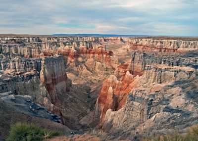
Coal Mine Canyon, Valley in Coconino County, Arizona.
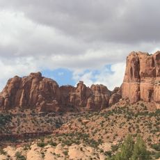
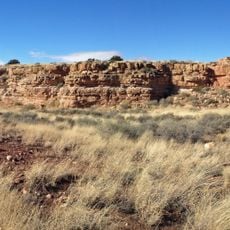
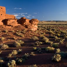
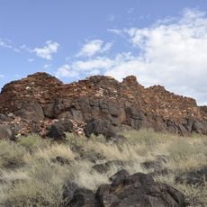
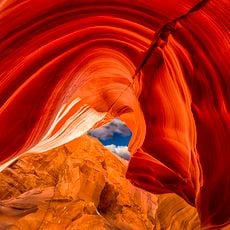
Coal Mine Canyon is a valley in Arizona marked by multicolored sandstone walls, steep cliffs, and narrow ravines carved into the landscape. The rock formations display layered deposits with varying tones throughout the gorge.
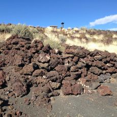
The area was worked for mining in the past, leaving marks on the landscape that visitors still see today. Abandoned vehicles and old structures scattered throughout the canyon testify to this earlier industrial use.
The canyon sits where Hopi and Navajo lands meet, marking an important boundary between these two nations. Visitors can sense this cultural divide as they explore the terrain.
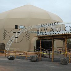
Access to the canyon requires a permit from Navajo Parks & Recreation authorities. Getting to the viewpoints involves driving on rough unpaved roads, so a vehicle suited for such terrain is necessary.
The sandstone walls display contrasting mineral colors across short vertical distances, creating patterns not found in other Southwest canyons. These colored bands form from different mineral compositions in the stacked rock layers.
The community of curious travelers
AroundUs brings together thousands of curated places, local tips, and hidden gems, enriched daily by 60,000 contributors worldwide.