
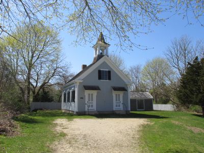
Cataumet Schoolhouse
Cataumet Schoolhouse, historic school building at 1200 County Road in Bourne, Massachusetts
Location: Bourne
Inception: 1894
Address: 1200 County Road
GPS coordinates: 41.67029,-70.60833
Latest update: September 23, 2025 15:09
Cape Cod Canal
11 km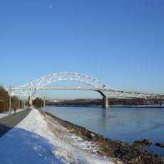
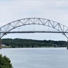
Bourne Bridge
8.8 km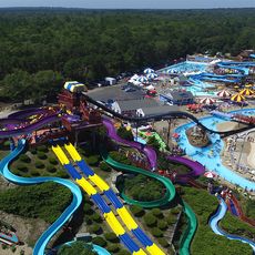
Water Wizz
10.5 km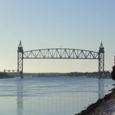
Cape Cod Canal Railroad Bridge
8 km
Massachusetts National Cemetery
2.1 km
Fort Banks
6.7 km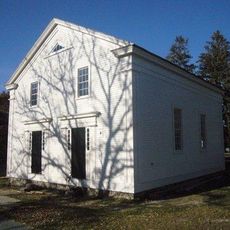
Old Indian Meeting House
11.9 km
Pine Hill
5.6 km
Mashpee National Wildlife Refuge
10.5 km
New Silver Beach
4.2 km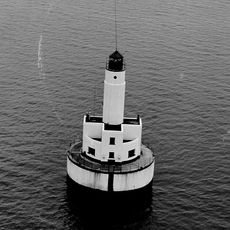
Cleveland East Ledge Light
8.4 km
Lowell Holly Reservation
11 km
Mashpee River Reservation
11.9 km
Doran Park
8.6 km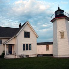
Wing's Neck Light
4.5 km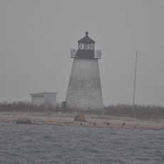
Bird Island Light
9.1 km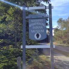
Mashpee Wampanoag Indian Museum
10.4 km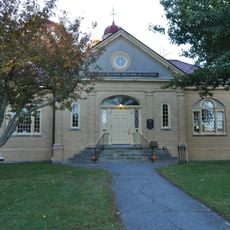
Jonathan Bourne Public Library
8.1 km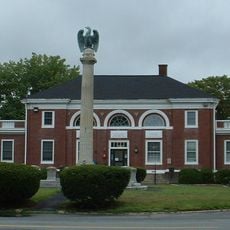
Bourne Town Hall
8.7 km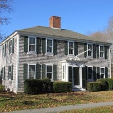
North Falmouth Village Historic District
2.8 km
West Falmouth Village Historic District
8 km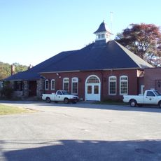
Falmouth Pumping Station
11.1 km
Gypsy
8.6 km
Josiah Tobey House
10.6 km
Avant House
10.4 km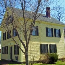
George I. Briggs House
8 km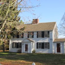
Elnathan Nye House
4 km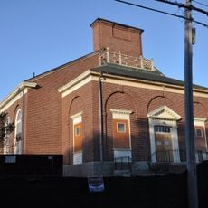
Old Bourne High School building
8.1 kmReviews
Visited this place? Tap the stars to rate it and share your experience / photos with the community! Try now! You can cancel it anytime.
Discover hidden gems everywhere you go!
From secret cafés to breathtaking viewpoints, skip the crowded tourist spots and find places that match your style. Our app makes it easy with voice search, smart filtering, route optimization, and insider tips from travelers worldwide. Download now for the complete mobile experience.

A unique approach to discovering new places❞
— Le Figaro
All the places worth exploring❞
— France Info
A tailor-made excursion in just a few clicks❞
— 20 Minutes