Enable Location

We need your location to show you interesting places around you

Discover nearby places

Find interesting locations and hidden gems around you

Precise directions

Get accurate directions and distances to places

Your location is never shared with other users. It's only used when you tap the location button.

Lawrenceville Historic District

Log in to your account

Start exploring — it's free

Trusted by 61,319 travelers worldwide

Continue with Google
Continue with Apple
or

We will send you a code to connect

By continuing, you accept our Terms and Conditions and our Privacy Policy

Check your inbox

We've sent a pincode in your inbox. Please enter the code below.

Lawrenceville Historic District, Historic district in Pittsburgh, United States.

Description

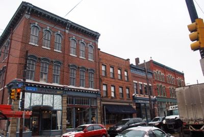
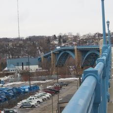
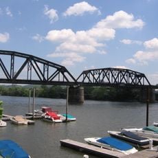
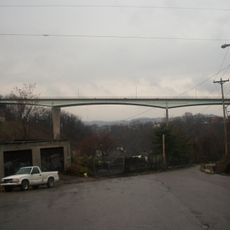
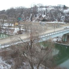
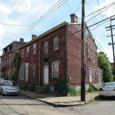
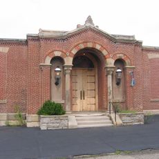
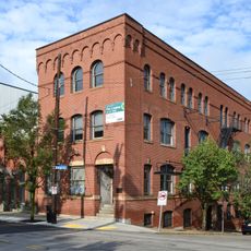
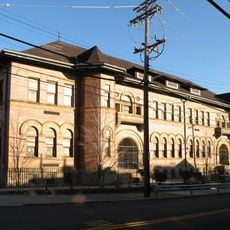
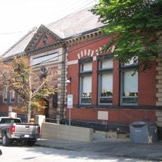
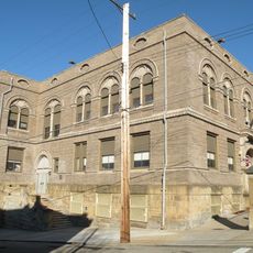
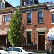
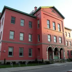
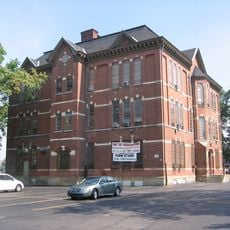
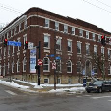
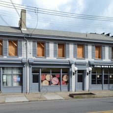
Lawrenceville Historic District is a neighborhood containing over 3,200 preserved structures along the Allegheny River, ranging from rowhouses and commercial buildings to former factory sites. The area spans several miles and displays a mix of architectural styles and building periods.

History

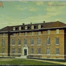
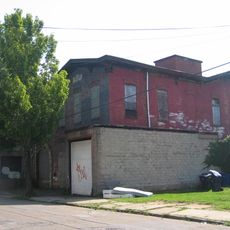
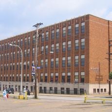
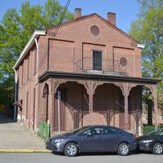
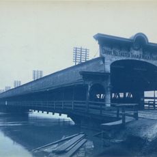
The district emerged in the early 1800s and expanded rapidly due to industrialization, driven by factories and military operations like the Allegheny Arsenal. This industrial past shaped the neighborhood's layout and built form.

Culture

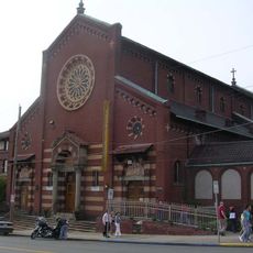
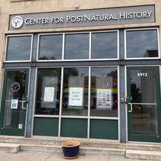
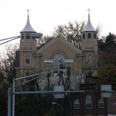
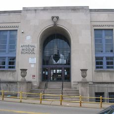
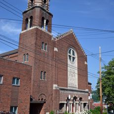
The neighborhood reflects its multiethnic past through churches, schools, and local businesses where different communities have lived side by side for generations. This diversity continues to shape how people use the streets and gather in public spaces today.

Practical

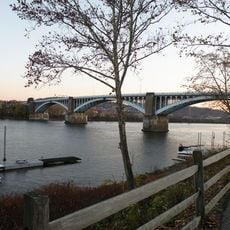
Walking is the best way to explore the district and see the buildings and streets up close, especially along the riverfront and through older residential blocks. Public transportation or street parking work well for getting around without a car.

Did you know?

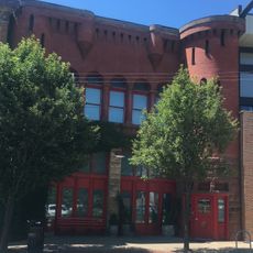
The Allegheny Arsenal, where ammunition was manufactured during the American Civil War, was a major military production site that still shapes the neighborhood's identity. Many surviving industrial buildings on site recall this significant military manufacturing history.

Location
GPS coordinates
40.46861,-79.96222
Latest update
December 14, 2025 15:00

AroundUs brings together thousands of curated places, local tips, and hidden gems, enriched daily by 60,000 contributors worldwide. Discover all places nearby (Pittsburgh).

Around this place
The Church Brew Works
United States of America

The Church Brew Works

750 m
The Clemente Museum
United States of America

The Clemente Museum

833 m
Immaculate Heart of Mary Church
United States of America

Immaculate Heart of Mary Church

1.4 km
Washington Crossing Bridge
United States of America

Washington Crossing Bridge

714 m
Center for PostNatural History
United States of America

Center for PostNatural History

1.5 km
31st Street Bridge
United States of America

31st Street Bridge

1.3 km
33rd Street Railroad Bridge
United States of America

33rd Street Railroad Bridge

1 km
St. Nicholas Croatian Church
United States of America

St. Nicholas Croatian Church

1.1 km
Bloomfield Bridge
United States of America

Bloomfield Bridge

1.1 km
30th Street Bridge
United States of America

30th Street Bridge

1.5 km
184 38th Street
United States of America

184 38th Street

283 m
Arsenal Junior High School
United States of America

Arsenal Junior High School

105 m
Former Holy Family Church
United States of America

Former Holy Family Church

372 m
Lawrence Public School
United States of America

Lawrence Public School

358 m
Pittsburgh United States Marine Hospital
United States of America

Pittsburgh United States Marine Hospital

450 m
Bayard School
United States of America

Bayard School

987 m
Former Pittsburgh Wash House and Public Baths Building
United States of America

Former Pittsburgh Wash House and Public Baths Building

640 m
Woolslair Elementary School
United States of America

Woolslair Elementary School

732 m
Lawrenceville Branch of the Carnegie Library of Pittsburgh
United States of America

Lawrenceville Branch of the Carnegie Library of Pittsburgh

290 m
Washington Education Center
United States of America

Washington Education Center

82 m
McCleary Elementary School
United States of America

McCleary Elementary School

1.6 km
The Peterson House
United States of America

The Peterson House

566 m
Springfield Public School
United States of America

Springfield Public School

1.2 km
Saint Mary's Academy Building
United States of America

Saint Mary's Academy Building

614 m
Foster School
United States of America

Foster School

307 m
Boys' Club of Pittsburgh
United States of America

Boys' Club of Pittsburgh

452 m
Naser's Tavern
United States of America

Naser's Tavern

117 m
43rd Street Bridge
United States of America

43rd Street Bridge

797 m
Show the full map
« Lawrenceville Historic District - Historic district in Pittsburgh, United States » is provided by Around Us (aroundus.com). Images and texts are derived from Wikimedia project under a Creative Commons license. You are allowed to copy, distribute, and modify copies of this page, under the conditions set by the license, as long as this note is clearly visible.

Discover hidden gems everywhere you go!

From secret cafés to breathtaking viewpoints, skip the crowded tourist spots and find places that match your style. Our app makes it easy with voice search, smart filtering, route optimization, and insider tips from travelers worldwide. Download now for the complete mobile experience.

Around Us App Screenshot

A unique approach to discovering new places

Le Figaro

All the places worth exploring

France Info

A tailor-made excursion in just a few clicks

20 Minutes

Around Us
Travel Guide & Maps
Download

Send to your phone

QR Code
1

Open the camera app on your mobile.

2

Point at the QR code with your camera. A notification will appear.

3

Tap the notification to open the link.