
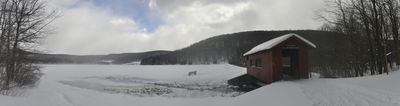
Deer Valley Kissing Bridge, covered bridge in Somerset County, Pennsylvania, USA
Location: Somerset County
GPS coordinates: 39.79723,-79.20189
Latest update: September 23, 2025 16:56

Fallingwater
25.8 km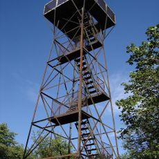
Mount Davis
2.5 km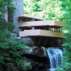
The 20th-Century Architecture of Frank Lloyd Wright
25.6 km
Ohiopyle State Park
20.5 km
Laurel Hill State Park
24.5 km
Laurel Ridge State Park
22.7 km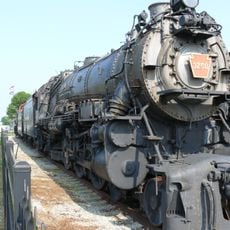
Pennsylvania Railroad 3750
20.9 km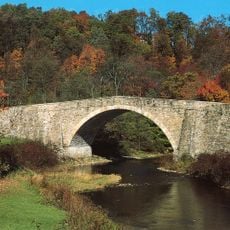
Casselman Bridge
12.3 km
Salisbury Viaduct
14 km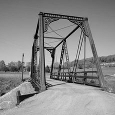
Wills Creek Bollman Bridge
17.9 km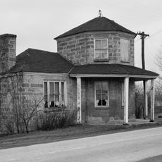
Petersburg Tollhouse
12.7 km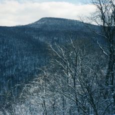
Sugarloaf Knob
22.8 km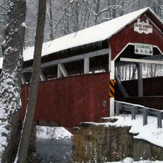
Lower Humbert Covered Bridge
11.4 km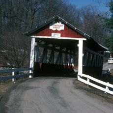
Beechdale Bridge
17.1 km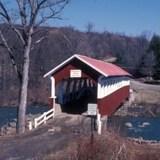
Barronvale Bridge
18.3 km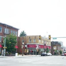
Uptown Somerset Historic District
25.9 km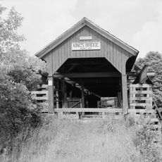
King's Bridge
16.7 km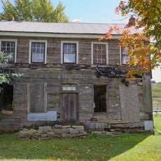
Fuller-Baker Log House
11.6 km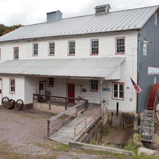
Stanton's Mill
12.4 km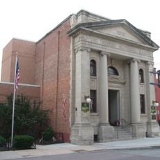
Second National Bank of Meyersdale
15.1 km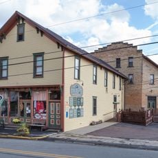
Penrose Wolf Building
13.5 km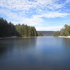
New Germany State Park
19.5 km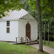
Mercy Chapel at Mill Run
16.7 km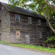
Kaese Mill
18.2 km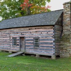
James Drane House
21 km
Laurel Hill RDA
22.8 km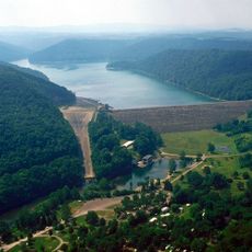
Youghiogheny River Lake
14.3 km
Visited this place? Tap the stars to rate it and share your experience / photos with the community! Try now! You can cancel it anytime.
Discover hidden gems everywhere you go!
From secret cafés to breathtaking viewpoints, skip the crowded tourist spots and find places that match your style. Our app makes it easy with voice search, smart filtering, route optimization, and insider tips from travelers worldwide. Download now for the complete mobile experience.

A unique approach to discovering new places❞
— Le Figaro
All the places worth exploring❞
— France Info
A tailor-made excursion in just a few clicks❞
— 20 Minutes