Ohiopyle State Park, State park in Fayette County, Pennsylvania, United States.
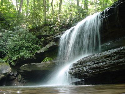
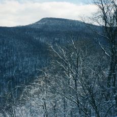
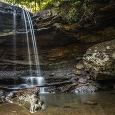
Ohiopyle State Park is a protected area in Fayette County, Pennsylvania, covering more than 20,500 acres of forested land. The terrain includes a deep river gorge with numerous waterfalls, rocky shorelines, and wooded slopes threaded by a network of trails.
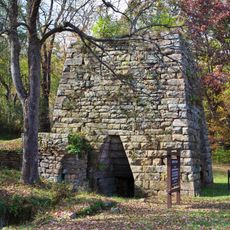
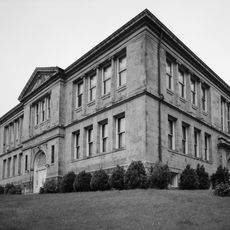
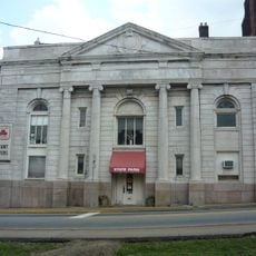
Several indigenous groups, including Monongahela, Shawnee, and Lenni Lenape, lived here before European settlers arrived in the early 1800s. The area was later used by loggers and farmers before being placed under state protection in the 20th century.
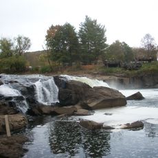
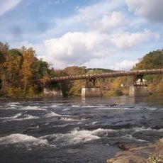
The river flowing through the area carries a name from the Lenape language, referring to the foaming white of the rapids. Visitors today can watch the water rush over rock formations, creating the bright spray that gave the place its name.
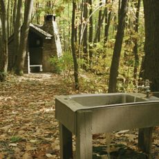
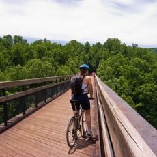
The grounds offer campsites at Kentuck Campground and more than 100 miles (160 km) of trails suitable for hiking, horseback riding, and mountain biking. Most paths remain accessible throughout the year, though some can become more difficult during winter.
The Youghiogheny River offers class III and IV whitewater, making it one of the more demanding waterways in the eastern United States. The rapids draw rafting enthusiasts from different regions who seek the fast water and rocky passages.
The community of curious travelers
AroundUs brings together thousands of curated places, local tips, and hidden gems, enriched daily by 60,000 contributors worldwide.