Chest opened
+${chestReward.xp} XP
Explorer
NOUVEAU ×${chestReward.collectible.quantity}
tapez pour fermer

See the monuments around you in AR Open chests in the app

Around Us is built for your phone — point your camera at the streets and discover the monuments and places around you in augmented reality. Around Us is built for your phone — chests unlock when you walk, explore and capture nearby places.

•

Enable Location

We need your location to show you interesting places around you

Discover nearby places

Find interesting locations and hidden gems around you

Precise directions

Get accurate directions and distances to places

Your location is never shared with other users. It's only used when you tap the location button.

Fort Necessity

Log in to your account

Start exploring — it's free

Trusted by 91,664 travelers worldwide

Continue with Google
Continue with Apple
or

We will send you a code to connect

By continuing, you accept our Terms and Conditions and our Privacy Policy

Check your inbox

We've sent a pincode in your inbox. Please enter the code below.

Fort Necessity, Military fort in Fayette County, Pennsylvania, United States.

Fort Necessity is a circular stockade fort with a 16-meter (53-foot) diameter, surrounded by defensive earthworks and trenches with a central storage building inside. A visitor center sits nearby to provide context about the military installation.

George Washington built the fort in 1754 as a defensive position during the opening phase of the French and Indian War. The structure was abandoned shortly after and remained largely altered over the following centuries.

The site is connected to George Washington's first command and visitors experience it as a place marking an early chapter of his career. The way the landscape is maintained today reflects how Americans view this moment in their past.

The fort and visitor center are open year-round, connected by a short walking path that takes about 10 minutes to traverse. Good footwear helps since the ground is uneven and walking is the best way to explore the site.

Archaeological work in the 1950s revealed the fort's true circular shape, correcting long-standing beliefs about how it was actually built. This discovery helped historians understand the original design better.

The community of curious travelers

AroundUs brings together thousands of curated places, local tips, and hidden gems, enriched daily by 91,664 contributors worldwide.

Start exploring
Location
GPS coordinates
39.81521,-79.58940
Latest update
October 17, 2026 20:00
Around this place
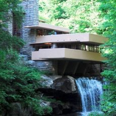
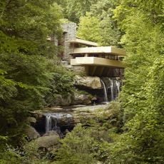
Fallingwater
United States of America

Fallingwater

9 mi
Nemacolin Woodlands Resort
United States of America

Nemacolin Woodlands Resort

2.2 mi
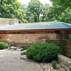
Kentuck Knob
United States of America

Kentuck Knob

5.3 mi
The 20th-Century Architecture of Frank Lloyd Wright
United States of America

The 20th-Century Architecture of Frank Lloyd Wright

9 mi
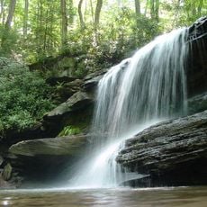
Ohiopyle State Park
United States of America

Ohiopyle State Park

8.4 mi
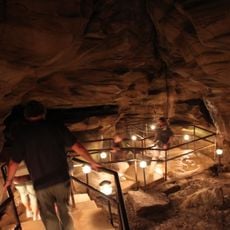
Laurel Caverns
United States of America

Laurel Caverns

6.6 mi
United States of America

Uniontown Speedway

7.7 mi
Mount Saint Macrina
United States of America

Mount Saint Macrina

10.6 mi
Quebec Run Wild Area
United States of America

Quebec Run Wild Area

6.3 mi
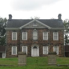
Isaac Meason House
United States of America

Isaac Meason House

9.3 mi
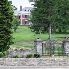
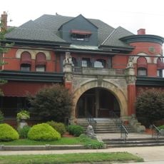
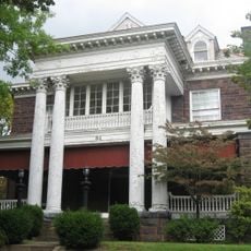
Adam Clarke Nutt Mansion
United States of America

Adam Clarke Nutt Mansion

10.1 mi
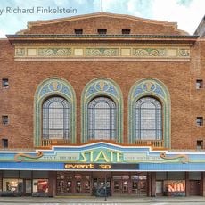
State Theatre Center for the Arts
United States of America

State Theatre Center for the Arts

9.3 mi
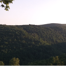
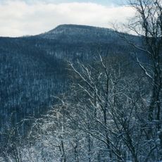
Sugarloaf Knob
United States of America

Sugarloaf Knob

6.7 mi
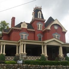
John S. Douglas House
United States of America

John S. Douglas House

9.4 mi
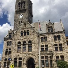
Uniontown Downtown Historic District
United States of America

Uniontown Downtown Historic District

9.4 mi
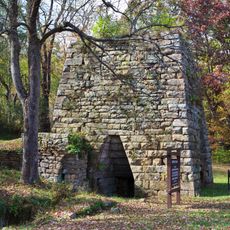
Wharton Furnace
United States of America

Wharton Furnace

2.7 mi
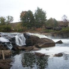
Ohiopyle High Bridge
United States of America

Ohiopyle High Bridge

6.6 mi
Ferncliff Peninsula Natural Area
United States of America

Ferncliff Peninsula Natural Area

6 mi
John P. Conn House
United States of America

John P. Conn House

9.8 mi
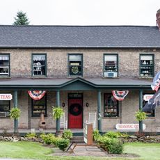
Hopwood-Miller Tavern
United States of America

Hopwood-Miller Tavern

7.8 mi
Old Hemlock
United States of America

Old Hemlock

11.6 mi
Shoaf Historic District
United States of America

Shoaf Historic District

11.8 mi
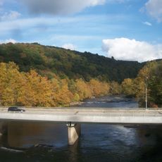
Ohiopyle Low Bridge
United States of America

Ohiopyle Low Bridge

6.4 mi
Cucumber Run
United States of America

Cucumber Run

2.7 mi
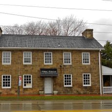
Downer Tavern
United States of America

Downer Tavern

2.5 mi
Ohiopyle Highway Bridge
United States of America

Ohiopyle Highway Bridge

6.4 mi
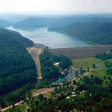
Youghiogheny River Lake
United States of America

Youghiogheny River Lake

11 mi
Youghiogheny River Lake
United States of America

Youghiogheny River Lake

11.8 mi
Show the full map
Reviews
Share your experience

No review yet

Discussions
Start a discussion...

No discussion yet

« Fort Necessity - Military fort in Fayette County, Pennsylvania, United States » is provided by Around Us (aroundus.com). Images and texts are derived from Wikimedia project under a Creative Commons license. You are allowed to copy, distribute, and modify copies of this page, under the conditions set by the license, as long as this note is clearly visible.

Discover hidden gems everywhere you go!

From secret cafés to breathtaking viewpoints, skip the crowded tourist spots and find places that match your style. Our app makes it easy with voice search, smart filtering, route optimization, and insider tips from travelers worldwide. Download now for the complete mobile experience.
Around Us App Screenshot
❝

A unique approach to discovering new places❞

— Le Figaro

❝

All the places worth exploring❞

— France Info

❝

A tailor-made excursion in just a few clicks❞

— 20 Minutes

Around Us
Travel Guide & Maps
Download

Send to your phone

QR Code
1

Open the camera app on your mobile.

2

Point at the QR code with your camera. A notification will appear.

3

Tap the notification to open the link.