
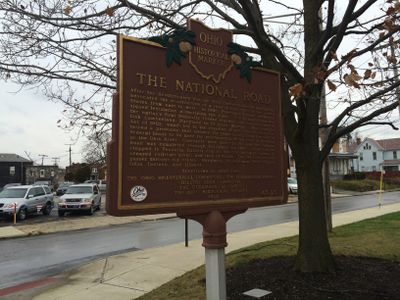
The National Road, Ohio historical marker 43-25
Location: Franklin County
Part of: Remarkable Ohio
GPS coordinates: 39.95565,-83.06178
Latest update: March 14, 2025 08:34
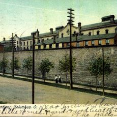
Ohio Penitentiary
4.6 km
Central High School
4.7 km
Union Station arch
4.8 km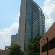
Miranova Place
4.8 km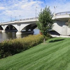
Discovery Bridge
4.9 km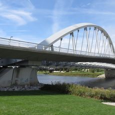
Main Street Bridge
4.7 km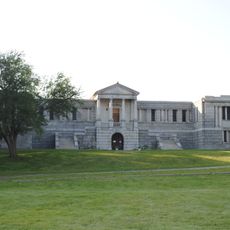
Green Lawn Abbey
4.2 km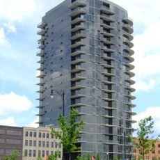
The Condominiums at North Bank Park
4.6 km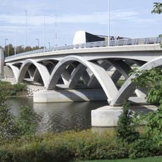
Rich Street Bridge
4.8 km
Gen. William Henry Harrison Headquarters
4 km
The Tree Bar
4.8 km
Genoa Park
4.8 km
Holy Family Church (Columbus, Ohio)
3.9 km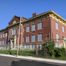
Bellows School
3.7 km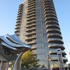
Flowing Kiss
4.6 km
Alexander Park
4.8 km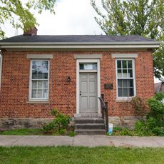
Sullivant Land Office
3.9 km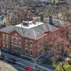
First Avenue School
4.9 km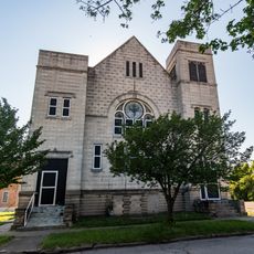
West Side Spiritualist Church
4.2 km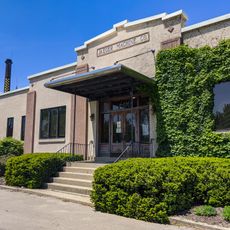
Jaeger Machine Company Office Building
4 km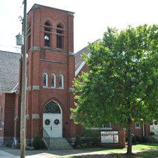
Pataskala United Methodist Church
4.7 km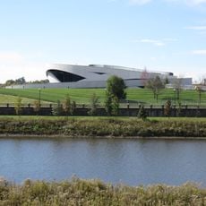
National Veterans Memorial and Museum
4.6 km
Pataskala Presbyterian Church
4.7 km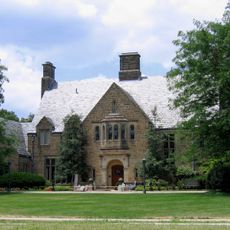
Upper Arlington Historic District
4.7 km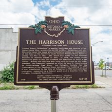
The Harrison House
4 km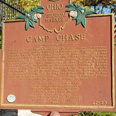
Camp Chase
1.8 km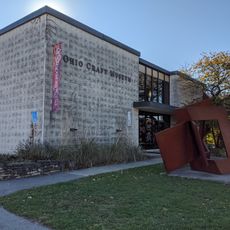
Ohio Craft Museum
3.8 km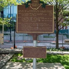
The Irish in Columbus
4.8 kmReviews
Visited this place? Tap the stars to rate it and share your experience / photos with the community! Try now! You can cancel it anytime.
Discover hidden gems everywhere you go!
From secret cafés to breathtaking viewpoints, skip the crowded tourist spots and find places that match your style. Our app makes it easy with voice search, smart filtering, route optimization, and insider tips from travelers worldwide. Download now for the complete mobile experience.

A unique approach to discovering new places❞
— Le Figaro
All the places worth exploring❞
— France Info
A tailor-made excursion in just a few clicks❞
— 20 Minutes