Chest opened
+${chestReward.xp} XP
Explorer
NOUVEAU ×${chestReward.collectible.quantity}
tapez pour fermer

See the monuments around you in AR Open chests in the app

Around Us is built for your phone — point your camera at the streets and discover the monuments and places around you in augmented reality. Around Us is built for your phone — chests unlock when you walk, explore and capture nearby places.

Enable Location

We need your location to show you interesting places around you

Discover nearby places

Find interesting locations and hidden gems around you

Precise directions

Get accurate directions and distances to places

Your location is never shared with other users. It's only used when you tap the location button.

Log in to your account

Start exploring — it's free

Trusted by 83,962 travelers worldwide

Continue with Google
Continue with Apple
or

We will send you a code to connect

By continuing, you accept our Terms and Conditions and our Privacy Policy

Check your inbox

We've sent a pincode in your inbox. Please enter the code below.

Discussion Reviews Photo
1.3k Popularity

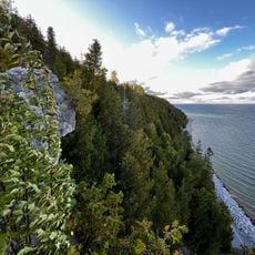
Mackinac Wilderness, Protected wilderness area in Mackinac County, Michigan.

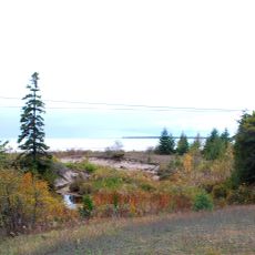
Mackinac Wilderness is a protected area spanning roughly 12,000 acres within the Hiawatha National Forest in northern Michigan. The landscape contains wetlands along the Carp River, beaver ponds, and forests of aspen and birch trees.

The area experienced heavy logging from 1880 to 1910, which transformed the original old-growth forest into today's second-growth woodland. This past cutting activity enabled the current dominance of fast-growing aspen and birch species.

The wilderness area maintains its natural state as an IUCN category Ib site, providing a stark contrast to the managed sections of the Hiawatha National Forest.

The area is accessed mainly from Highway M-123, with activities centered along the river and surrounding sections. Summer offers the most comfortable conditions, though spring and fall also bring visitors to explore the landscape.

The terrain displays distinct glacial ridges and sand dunes formed during the last ice age. These geological features create a varied landscape that provides habitats for diverse wildlife such as herons and cranes.

The community of curious travelers

AroundUs brings together thousands of curated places, local tips, and hidden gems, enriched daily by 60,000 contributors worldwide.
Start exploring
Location
Inception
1987
Operator
United States Forest Service
GPS coordinates
46.05162,-84.83223
Latest update
August 12, 2026 11:38
Around this place
Cut River Bridge
United States of America

Cut River Bridge

22.6 km
Castle Rock
United States of America

Castle Rock

17.2 km
Father Marquette National Memorial
United States of America

Father Marquette National Memorial

24 km
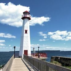
Wawatam Lighthouse
United States of America

Wawatam Lighthouse

22.6 km
Straits State Park
United States of America

Straits State Park

23.8 km
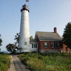
St. Helena Island Light
United States of America

St. Helena Island Light

22 km
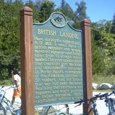
British Landing
United States of America

British Landing

24.2 km
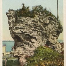
St. Anthony's Rock
United States of America

St. Anthony's Rock

22 km
St. Ignace Mission
United States of America

St. Ignace Mission

21.5 km
United States of America

Horseshoe Bay Wilderness

12.5 km
United States of America

Saint Helena Island National Scenic Area

21.7 km
John Chambers House
United States of America

John Chambers House

22.2 km
Gros Cap Cemetery
United States of America

Gros Cap Cemetery

20.3 km
Gros Cap Archaeological District
United States of America

Gros Cap Archaeological District

20.7 km
Marquette Street Archaeological District
United States of America

Marquette Street Archaeological District

22 km
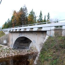
Mackinac Trail – Carp River Bridge
United States of America

Mackinac Trail – Carp River Bridge

9.6 km
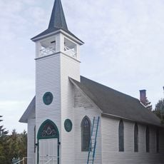
Sacred Heart-Gros Cap Church
United States of America

Sacred Heart-Gros Cap Church

19.8 km
Trout Lake Park
United States of America

Trout Lake Park

22.5 km
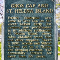
Gros Cap and Saint Helena Island Historical Marker
United States of America

Gros Cap and Saint Helena Island Historical Marker

20.3 km
United States of America

Crack in the Island

25.6 km

Chain Lake Beach

20.5 km
United States of America

Statue

21.5 km
United States of America

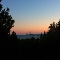
Mackinac Bridge Overlook

24.1 km
United States of America

Overlook

20.5 km
United States of America

Scenic viewpoint

26.8 km
United States of America

Scenic viewpoint

22.2 km
United States of America

Scenic viewpoint

21.3 km
United States of America

Scenic viewpoint

24.2 km
Show the full map
Reviews
Share your experience

No review yet

Discussions
Start a discussion...

No discussion yet

« Mackinac Wilderness - Protected wilderness area in Mackinac County, Michigan » is provided by Around Us (aroundus.com). Images and texts are derived from Wikimedia project under a Creative Commons license. You are allowed to copy, distribute, and modify copies of this page, under the conditions set by the license, as long as this note is clearly visible.

Discover hidden gems everywhere you go!

From secret cafés to breathtaking viewpoints, skip the crowded tourist spots and find places that match your style. Our app makes it easy with voice search, smart filtering, route optimization, and insider tips from travelers worldwide. Download now for the complete mobile experience.

Around Us App Screenshot

A unique approach to discovering new places

Le Figaro

All the places worth exploring

France Info

A tailor-made excursion in just a few clicks

20 Minutes

Around Us
Travel Guide & Maps
Download

Send to your phone

QR Code
1

Open the camera app on your mobile.

2

Point at the QR code with your camera. A notification will appear.

3

Tap the notification to open the link.