
Hòa Thuận Đông, Stadtviertel in Vietnam
Location: Hải Châu
Elevation above the sea: 13 m
GPS coordinates: 16.05083,108.21750
Latest update: April 22, 2025 19:51


Golden Bridge
24.5 km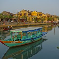
Hoi An Ancient Town
22.7 km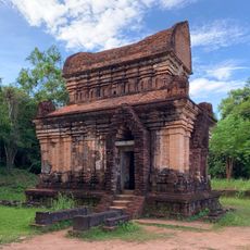
Mỹ Sơn
33.5 km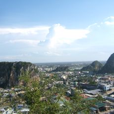
Marble Mountains
7.3 km
Linh Ung Pagoda
8.3 km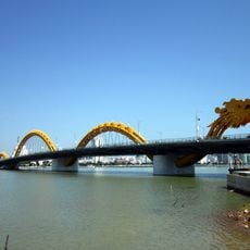
Dragon River Bridge
1.5 km
Japanese Bridge
22.5 km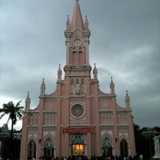
Da Nang Cathedral
1.9 km
Han River Bridge
2.6 km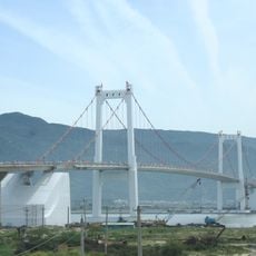
Thuận Phước Bridge
4.6 km
Museum of Cham Sculpture
1 km
Mausoleum of Emperor Khai Dinh
77.4 km
Tomb of Gia Long
74.9 km
Bach Ma National Park
41 km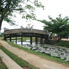
Thanh Toan covered bridge
76.9 km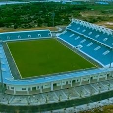
Hòa Xuân Stadium
5.8 km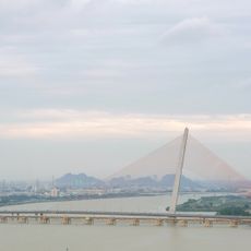
Tran Thi Ly Bridge
1.3 km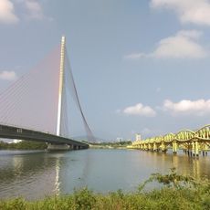
Nguyen Van Troi Bridge
1.2 km
Ba Na Hills Cable Car
19.7 km
Zone 5 Military Museum
243 m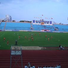
Chi Lang Stadium
2.1 km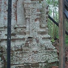
Đồng Dương
38.3 km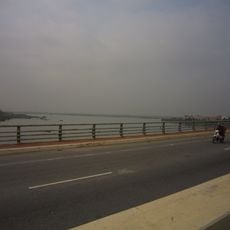
Tiên Sơn Bridge
2.6 km
Museum of Trade Ceramics
22.8 km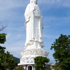
Son Tra Guanyin
8.4 km
Thác Nhị Hồ
40.1 km
Khe Su 4 Quán Dì Hường
40.8 km
Lang Co Beach
29.5 kmReviews
Visited this place? Tap the stars to rate it and share your experience / photos with the community! Try now! You can cancel it anytime.
Discover hidden gems everywhere you go!
From secret cafés to breathtaking viewpoints, skip the crowded tourist spots and find places that match your style. Our app makes it easy with voice search, smart filtering, route optimization, and insider tips from travelers worldwide. Download now for the complete mobile experience.

A unique approach to discovering new places❞
— Le Figaro
All the places worth exploring❞
— France Info
A tailor-made excursion in just a few clicks❞
— 20 Minutes