Culsalmond, Scottish parish in Aberdeenshire, Scotland, UK
Location: Aberdeenshire
Shares border with: Auchterless, Rayne, Oyne, Insch, Forgue
GPS coordinates: 57.38292,-2.57930
Latest update: March 3, 2025 12:51
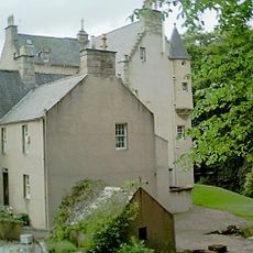
Lickleyhead Castle
9.3 km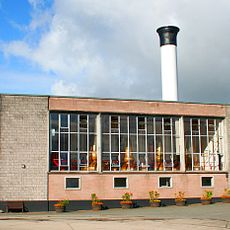
Glendronach distillery
11.7 km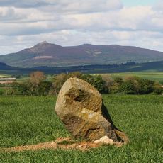
Bennachie
10.1 km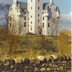
Leslie Castle
9.4 km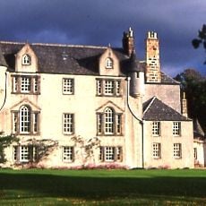
Leith Hall
11.5 km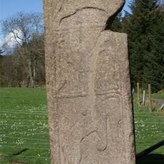
Maiden Stone
9.4 km
Balquhain
11.9 km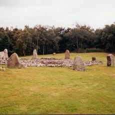
Loanhead of Daviot stone circle
10.2 km
Gordon Way
11.9 km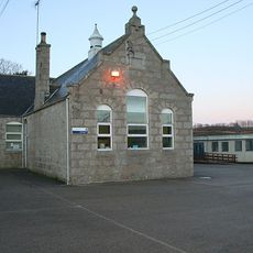
Durno
7.2 km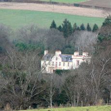
Frendraught House
9.8 km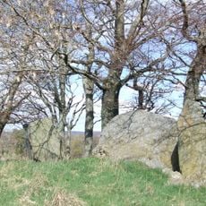
Dunnideer stone circle, 450m NW of Dunnideer Tower
6.1 km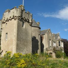
Westhall Castle
6.3 km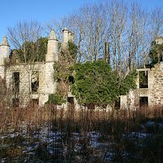
Lessendrum
11.6 km
Harthill Castle
8.2 km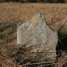
Ardlair Stone
10.9 km
Inveramsay Bridge
11.6 km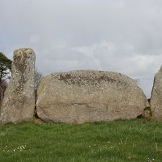
Stonehead
6.5 km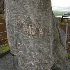
Picardy Symbol Stone
4.9 km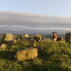
Ardlair, stone circle 450m SW of
11 km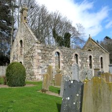
Kirkton Of Culsalmond, Old Parish Church
394 m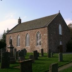
Chapel Of Garioch, Parish Church
10.6 km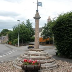
Old Rayne, Market Cross
4.9 km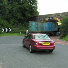
Inveramsay Bridge
10.8 km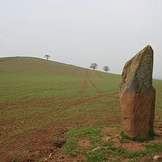
Ringing Stone, standing stone, 275m NNW of Johnston
10.5 km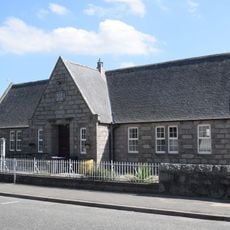
Insch Library
5.2 km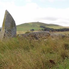
Inschfield, stone circle 300m WNW of
4.4 km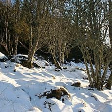
Maiden Castle
9.3 kmVisited this place? Tap the stars to rate it and share your experience / photos with the community! Try now! You can cancel it anytime.
Discover hidden gems everywhere you go!
From secret cafés to breathtaking viewpoints, skip the crowded tourist spots and find places that match your style. Our app makes it easy with voice search, smart filtering, route optimization, and insider tips from travelers worldwide. Download now for the complete mobile experience.

A unique approach to discovering new places❞
— Le Figaro
All the places worth exploring❞
— France Info
A tailor-made excursion in just a few clicks❞
— 20 Minutes