Col de la Coumme
Location: Castillon-de-Larboust
GPS coordinates: 42.75087,0.52940
Latest update: October 24, 2025 17:38
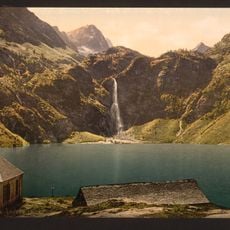
Lac d'Oô
3.3 km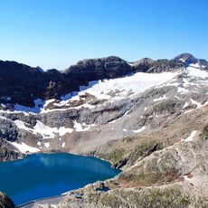
Lac du Portillon
5.8 km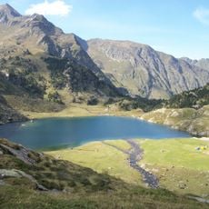
Lac d'Espingo
3.7 km
Pic de Maupas
5.7 km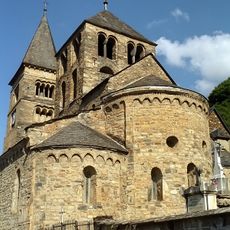
Église de Saint-Aventin
6.4 km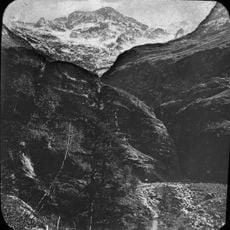
Crabioules
5.4 km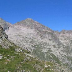
Grand Quayrat
4.3 km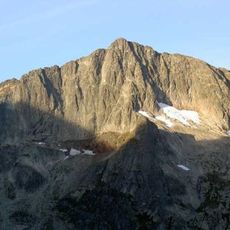
Pic des Spijeoles
5.8 km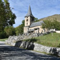
Église Sainte-Anne
6.3 km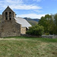
Chapelle Saint-Pé de la Moraine
6.4 km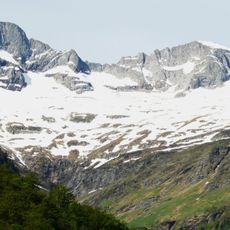
Cirque des Crabioules
3.7 km
Pic de Céciré
1 km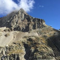
Pic Lézat
5 km
Punta de Lliterola
5.8 km
Pic Royo
6 km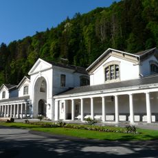
Thermes Chambert
6.5 km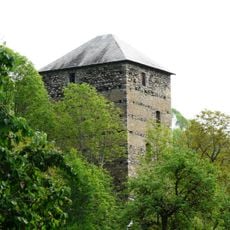
Tour à signaux de Castet
5.7 km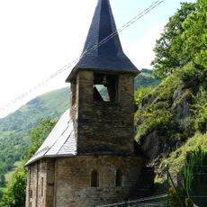
Église Saint-Julien de Trébons-de-Luchon
6.6 km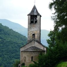
Église Saint-Martin de Cazaril-Laspènes
6.6 km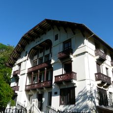
Chalets Spont
6.5 km
Pic Navarro
5.7 km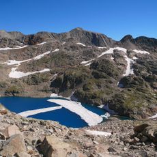
Tusse de Remuñe
5.7 km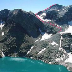
Tuca de Lliterola
6.2 km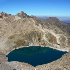
Pic Gourdon
6.3 km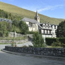
Église Saint-Jean-Baptiste de Garin
6.6 km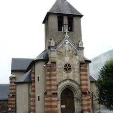
Église Saint-Barthélemy de Castillon-de-Larboust
6.1 km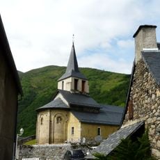
Église Saint-Jacques
5.6 km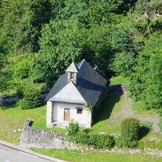
Chapelle de Saint-Aventin
6.5 kmReviews
Visited this place? Tap the stars to rate it and share your experience / photos with the community! Try now! You can cancel it anytime.
Discover hidden gems everywhere you go!
From secret cafés to breathtaking viewpoints, skip the crowded tourist spots and find places that match your style. Our app makes it easy with voice search, smart filtering, route optimization, and insider tips from travelers worldwide. Download now for the complete mobile experience.

A unique approach to discovering new places❞
— Le Figaro
All the places worth exploring❞
— France Info
A tailor-made excursion in just a few clicks❞
— 20 Minutes