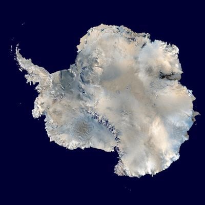
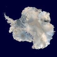
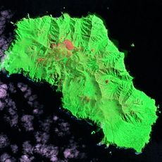
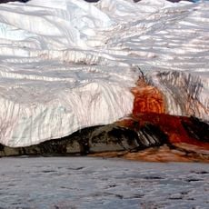
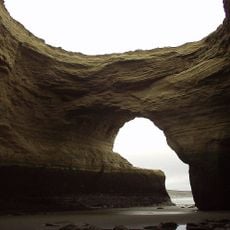
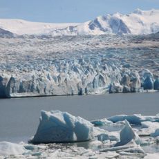
Antarctica, Continental landmass near the South Pole
This continent extends across 14 million square kilometers (5.4 million square miles), with 98 percent of its surface covered by ice sheets averaging 1.6 kilometers (1 mile) in thickness.
Russian explorer Bellingshausen sighted this landmass in January 1820, followed by American seal hunter John Davis who made landfall in February 1821.
The Antarctic Treaty of 1959 designated this continent as international territory for scientific research and environmental protection, suspending all national territorial claims indefinitely.
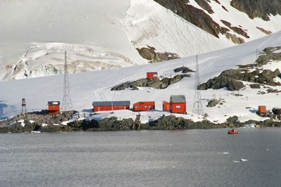
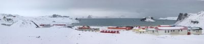
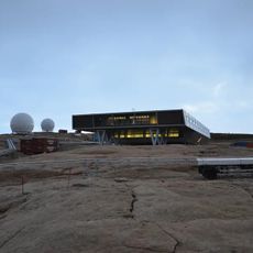
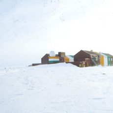
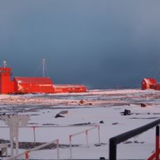
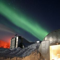
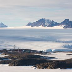
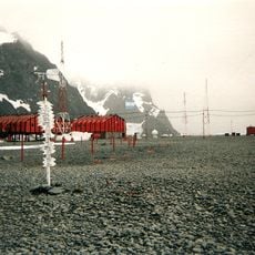
More than 4,000 scientists work at research stations distributed across the continent, conducting year-round studies on climate change, marine biology and geological formations.
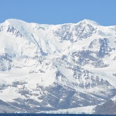
Mount Vinson rises as the highest point to 16,050 feet (4,892 meters) in the Ellsworth Mountains, where temperatures can reach minus 58 degrees Fahrenheit (minus 50 degrees Celsius).
The community of curious travelers
AroundUs brings together thousands of curated places, local tips, and hidden gems, enriched daily by 60,000 contributors worldwide.