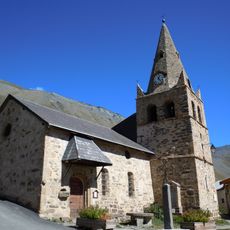
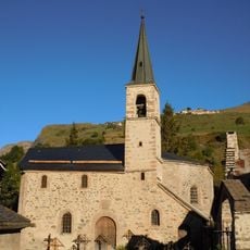
Plateau d'Emparis, Alpine plateau in Hautes-Alpes and Isère, France.
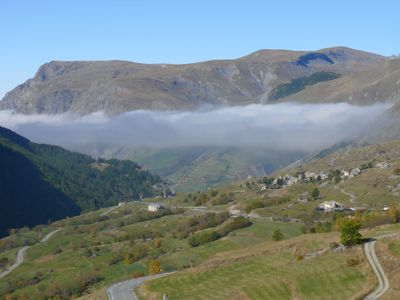
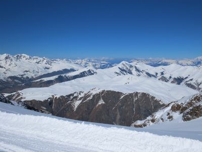
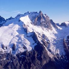
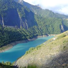
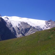
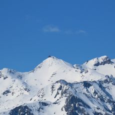
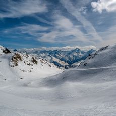
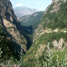
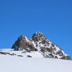
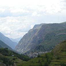
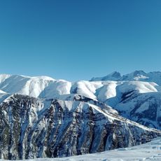
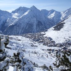
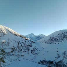
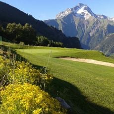
The Plateau d'Emparis sits at 2,463 meters (8,081 feet) elevation across the Hautes-Alpes and Isère regions. Gentle alpine meadows spread across the terrain, with two mountain lakes—Lac Lérié and Lac Noir—breaking the grassland and the Meije massif rising in the distance.
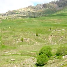
The landscape took shape over centuries as farmers drove herds to graze in these high meadows during summer months. This long pastoral tradition became the foundation for how the region looks today.
Herders have brought their flocks to these high meadows for summer grazing across generations, shaping how the land looks and is used. This pastoral rhythm remains visible in the grasslands and in how locals relate to the seasons.
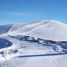
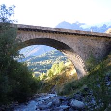
Several marked trails reach the plateau, including the GR54 hiking route connecting Le Chazelet to Besse-en-Oisans and passing through the area. Three mountain refuges provide stops for rest and overnight stays, making multi-day visits straightforward.
Rare petrifying springs scattered across the plateau release mineral-rich water that creates unusual geological formations over time. These natural deposits reveal the slow chemical processes constantly reshaping the mountain environment.
The community of curious travelers
AroundUs brings together thousands of curated places, local tips, and hidden gems, enriched daily by 60,000 contributors worldwide.