
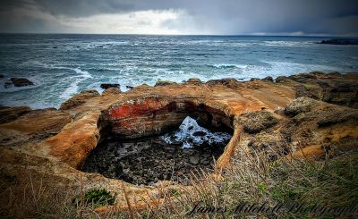
Devil's Punchbowl, Natural rock formation in Lincoln County, Oregon.
The rock formation creates a circular basin where ocean waves crash through openings, generating powerful water movements during high tides and storms.
The land became a state natural area through donations from F.W. and C.P. Leadbetter in 1929, followed by additional land acquisitions until 1971.
Native American tribes from the Pacific Northwest considered this geological structure a sacred place for ceremonial gatherings and spiritual connections.
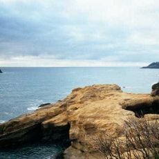
The observation area provides designated parking spots and maintained pathways that lead visitors to multiple viewpoints of the natural rock formation.
During winter storms, water forces through the cave openings at speeds reaching 100 mph, creating an explosive display visible from observation points.
Location: Lincoln County
Address: Devils Punchbowl State Natural Area, 122 1st St, Otter Rock, OR 97369, USA
Opening Hours: Dimanche: 00:00 -
Website: http://oregonstateparks.org/index.cfm?do=parkPage.dsp_parkPage&parkId=156
GPS coordinates: 44.74704,-124.06523
Latest update: March 12, 2025 20:05
Devils Punch Bowl State Natural Area
154 m
Oregon Coast Aquarium
14.5 km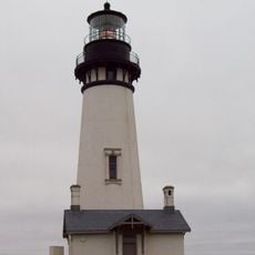
Yaquina Head Light
7.9 km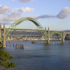
Yaquina Bay Bridge
13.9 km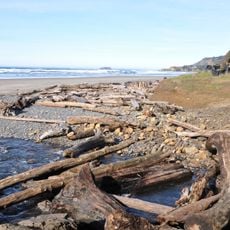
Beverly Beach State Park
2 km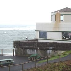
Whale Watching Center
7 km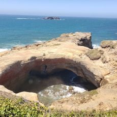
Devils Punchbowl State Natural Area
138 m
South Beach State Park
15.9 km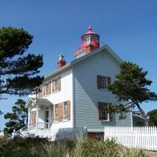
Yaquina Bay Light
13.7 km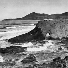
Jumpoff Joe
11.3 km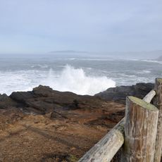
Boiler Bay State Scenic Viewpoint
9 km
Siletz Bay National Wildlife Refuge
17.8 km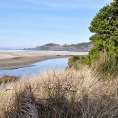
Agate Beach State Recreation Site
9.8 km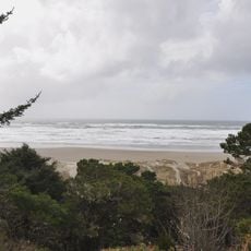
Yaquina Bay State Recreation Site
13.7 km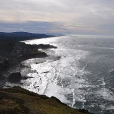
Otter Crest State Scenic Viewpoint
1.5 km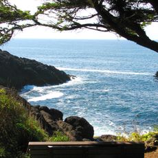
Rocky Creek State Scenic Viewpoint
3.9 km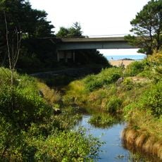
Fogarty Creek State Recreation Area
10.7 km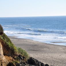
Gleneden Beach State Recreation Site
14.6 km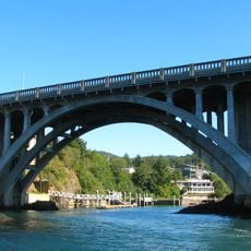
Depoe Bay Bridge
7 km
Oregon Undersea Gardens
13 km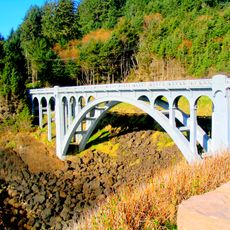
Rocky Creek Bridge
3.5 km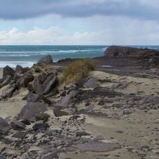
South Jetty
14.5 km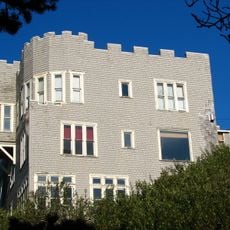
Charles and Theresa Roper House
12.7 km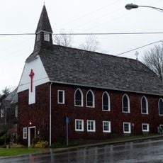
St. John's Episcopal Church
17.5 km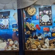
Whale Research EcoExcursions
6.9 km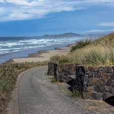
Nye Beach
11.6 km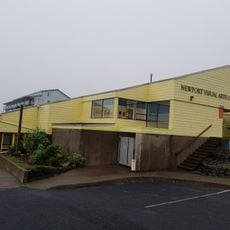
Newport Visual Arts Center
12.1 km
Nye Beach
11.7 kmReviews
Visited this place? Tap the stars to rate it and share your experience / photos with the community! Try now! You can cancel it anytime.
Discover hidden gems everywhere you go!
From secret cafés to breathtaking viewpoints, skip the crowded tourist spots and find places that match your style. Our app makes it easy with voice search, smart filtering, route optimization, and insider tips from travelers worldwide. Download now for the complete mobile experience.

A unique approach to discovering new places❞
— Le Figaro
All the places worth exploring❞
— France Info
A tailor-made excursion in just a few clicks❞
— 20 Minutes