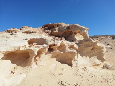
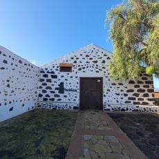
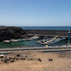
Barranco de los Encantados, Sandstone ravine in La Oliva, Spain.
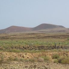
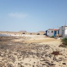
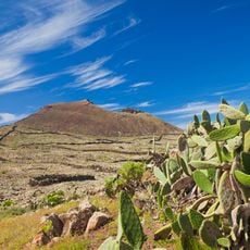
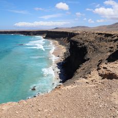
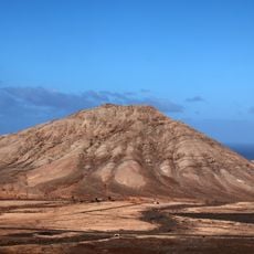
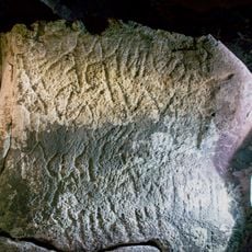
Barranco de los Encantados is a ravine in northern Fuerteventura shaped by sandstone formations eroded into natural sculptures and angular shapes. The canyon runs through remote terrain with steep walls and distinctive rock patterns visible throughout the gorge.
The sandstone layers formed from ancient underwater deposits when northern Fuerteventura lay beneath the sea millions of years ago. Erosion gradually carved these sediments into the canyon visible today over an immense span of time.
The ravine carries a name rooted in local folklore, referring to tales that have circulated through the community for generations. This connection to storytelling reflects how deeply the place has shaped the imagination of people who live nearby.
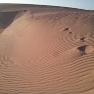
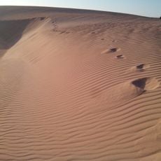
A circular trail allows visitors to walk through the area and view the sandstone formations, with certain sections offering better vantage points for photography and observation. Wear sturdy shoes as the ground is uneven and can be rocky throughout the route.
The ravine contains preserved seashells and traces of plant roots that reveal the area once had much more moisture than it does now. These remains provide clues to how dramatically the climate has shifted in this part of Fuerteventura.
Location: La Oliva
Address: Barranco Encantado, 35649, Las Palmas, Spain
GPS coordinates: 28.63708,-13.98490
Latest update: December 6, 2025 19:05
Fuerteventura, the second largest island in the Canary Islands, is characterized by its diverse landscapes and notable geological features. The island houses spectacular formations such as the white dunes of Corralejo Natural Park, extending over more than 10 kilometers, the 70-million-year-old Ajuy...
Montaña de Tindaya
4.6 km
Corralejo Natural Park
14.7 km
Calderón Hondo
9.3 km
Casa de los Coroneles
6.8 km
Torre del Tostón
5.4 km
Ecomuseo La Alcogida
12.9 km
El Cotillo Beach
6.4 km
Iglesia de Nuestra Señora de la Candelaria
6.3 km
Tostón Lighthouse
9.2 km
Playa del Castillo
4.6 km
Playa del Majanicho
12.3 km
Malpaís de la Arena
5.5 km
Hermitage of Nuestra Señora de la Caridad
5.7 km
Playa del Águila
3.8 km
La Cilla, Museo del Grano
6.1 km
Caleta del Rio
8.7 km
Montaña de Tindaya
6.2 km
Windmill in El Cotillo
5 km
Windmill in Tefia
12.6 km
Southeastern windmill on La Montañeta
7.1 km
Northwestern windmill on La Montañeta
6.9 km
El Cotillo lime kilns
5.5 km
Windmill of Lajares
5.8 km
Barranco del Cavadero
13.6 km
Ermita de San Antonio de Padua
5.8 km
Punta Blanca
10.6 km
Port of El Cotillo
5.6 km
Ziphius cavirostris skeletal mount in El Cotillo
5.3 kmVisited this place? Tap the stars to rate it and share your experience / photos with the community! Try now! You can cancel it anytime.
Discover hidden gems everywhere you go!
From secret cafés to breathtaking viewpoints, skip the crowded tourist spots and find places that match your style. Our app makes it easy with voice search, smart filtering, route optimization, and insider tips from travelers worldwide. Download now for the complete mobile experience.
A unique approach to discovering new places❞
— Le Figaro
All the places worth exploring❞
— France Info
A tailor-made excursion in just a few clicks❞
— 20 Minutes