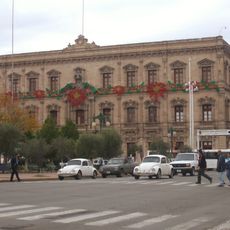
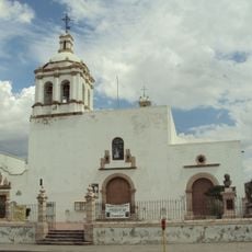
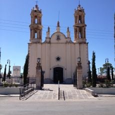
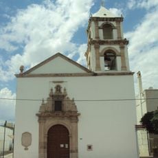
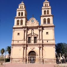
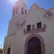
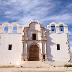
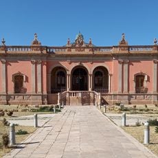
Santa Eulalia, Colonial mining town in Chihuahua, Mexico.
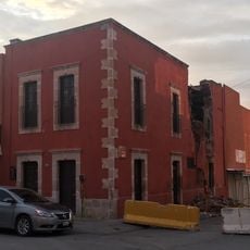
Santa Eulalia is an old mining settlement near Chihuahua featuring narrow streets and colonial-era buildings clustered together. The town retains the physical layout and architecture of a historical extraction community from several centuries ago.
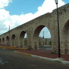
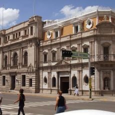
A Spanish captain established the settlement in 1652 after discovering silver deposits and built it into a regional mining center. The wealth from these mines later influenced decisions about where colonial authorities would place other important settlements nearby.
The town is named after Saint Eulalia and preserves its mining heritage through the layout of its streets and the style of its buildings. This past continues to shape how residents connect with their surroundings and community today.
The town sits on hillsides with narrow walkways, so comfortable walking shoes are helpful when exploring the streets. Weather can shift considerably, so it is wise to dress in layers for temperature changes throughout the day.
The silver deposits found here were so valuable that they led directly to the creation of an entire new city in the region. Without these resources, the founding and growth of a nearby provincial capital would have taken a completely different path.
The community of curious travelers
AroundUs brings together thousands of curated places, local tips, and hidden gems, enriched daily by 60,000 contributors worldwide.