Enable Location

We need your location to show you interesting places around you

Discover nearby places

Find interesting locations and hidden gems around you

Precise directions

Get accurate directions and distances to places

Your location is never shared with other users. It's only used when you tap the location button.

East Battery

Log in to your account

Start exploring — it's free

Trusted by 61,827 travelers worldwide

Continue with Google
Continue with Apple
or

We will send you a code to connect

By continuing, you accept our Terms and Conditions and our Privacy Policy

Check your inbox

We've sent a pincode in your inbox. Please enter the code below.

East Battery

East Battery, Access road in Charleston, US

Description

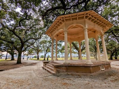
East Battery is a waterfront road along the Charleston peninsula featuring a fortified stone seawall that runs between the Ashley and Cooper Rivers at Charleston Harbor. The promenade stretches along the shoreline with historical structures and overlooks positioned at intervals.

History

The site originally held Broughton's Battery in 1737, which later became known as Fort Wilkins before being torn down in 1789. After its demolition, the area was transformed into a waterfront promenade and defensive position for the harbor.

Culture

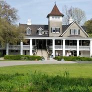
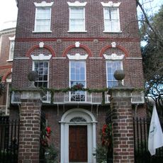
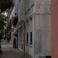
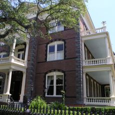
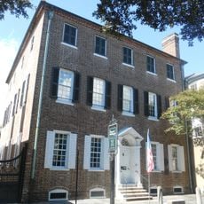
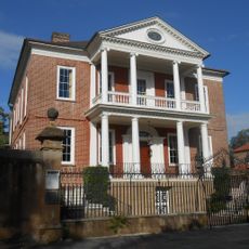
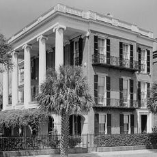
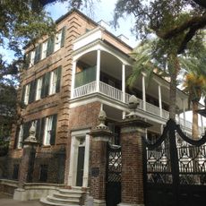
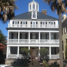
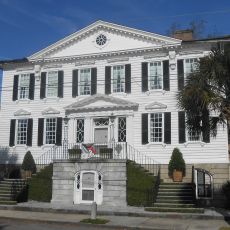
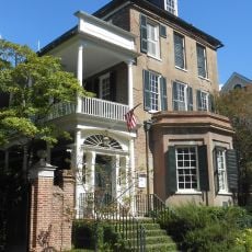
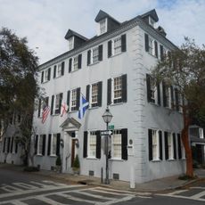
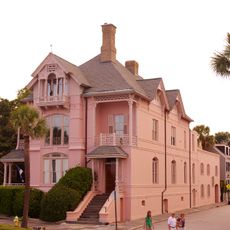
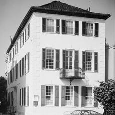
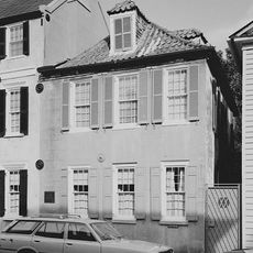
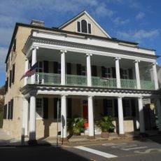
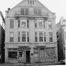
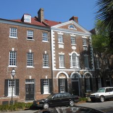
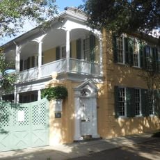
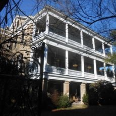
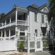
The street displays homes from the 19th century that show how Charleston's architecture and social life developed over time. Walking past these buildings gives visitors a sense of the city's past through their styles and details.

Practical

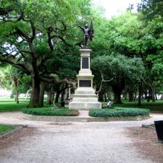
Parking is available near White Point Garden, making it convenient to reach the waterfront area. The pathway is open and straightforward to walk, with benches and rest spots positioned along the promenade.

Did you know?

From the seawall, visitors can see several historic military installations across the harbor: Fort Sumter, Castle Pinckney, the USS Yorktown, Fort Moultrie, and the Sullivan's Island lighthouse. This view shows how Charleston's harbor was once protected from different positions.

Location
Address
Charleston, SC 29401, United States
GPS coordinates
32.77100,-79.92823
Latest update
December 6, 2025 19:10

AroundUs brings together thousands of curated places, local tips, and hidden gems, enriched daily by 60,000 contributors worldwide. Discover all places nearby (Charleston).

South Carolina history : plantations, Charleston, beaches

South Carolina combines American history with coastal landscapes and urban parks. Charleston preserves colonial architecture from the 18th century, including the Nathaniel Russell House and Drayton Hall. Plantations such as Magnolia, Middleton Place, and Boone Hall show the agricultural past and the...

Around this place
Show the full map
« East Battery - Access road in Charleston, US » is provided by Around Us (aroundus.com). Images and texts are derived from Wikimedia project under a Creative Commons license. You are allowed to copy, distribute, and modify copies of this page, under the conditions set by the license, as long as this note is clearly visible.

Discover hidden gems everywhere you go!

From secret cafés to breathtaking viewpoints, skip the crowded tourist spots and find places that match your style. Our app makes it easy with voice search, smart filtering, route optimization, and insider tips from travelers worldwide. Download now for the complete mobile experience.

Around Us App Screenshot

A unique approach to discovering new places

Le Figaro

All the places worth exploring

France Info

A tailor-made excursion in just a few clicks

20 Minutes

Around Us
Travel Guide & Maps
Download

Send to your phone

QR Code
1

Open the camera app on your mobile.

2

Point at the QR code with your camera. A notification will appear.

3

Tap the notification to open the link.