
The Victorian House Gallery
Location: Jeffersonville
Location: Cambridge
GPS coordinates: 44.64494,-72.82846
Latest update: May 14, 2025 04:07
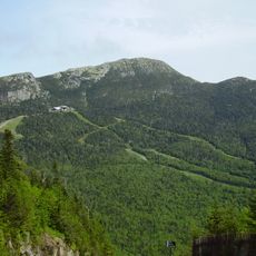
Mount Mansfield
11.3 km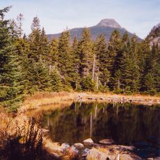
Long Trail
12.2 km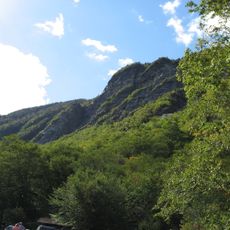
Smugglers' Notch State Park
10.5 km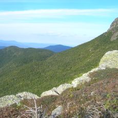
Mount Mansfield State Forest
17.1 km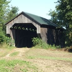
Gates Farm Covered Bridge
3.5 km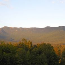
Underhill State Park
12.7 km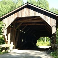
Grist Mill Covered Bridge
961 m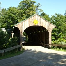
Church Street Covered Bridge
6.8 km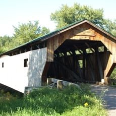
Poland Covered Bridge
1.3 km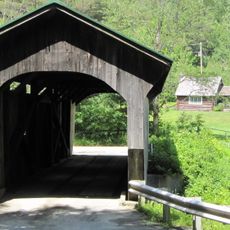
Morgan Covered Bridge
13.5 km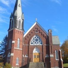
St. Thomas Church
16.4 km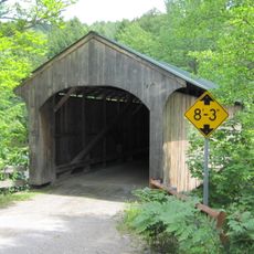
Montgomery Covered Bridge
7.5 km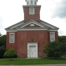
Cambridge Meetinghouse
293 m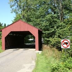
Maple Street Covered Bridge
14.6 km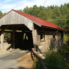
Power House Covered Bridge
12.5 km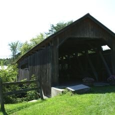
Browns River Covered Bridge
14.7 km
Mill Covered Bridge
13 km
East Fairfield Covered Bridge
15.9 km
St. George's Catholic Church
15.3 km
Scribner Covered Bridge
14.3 km
Jeffersonville Bridge
507 m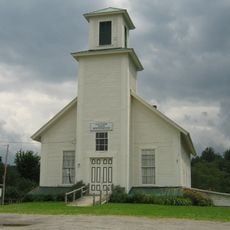
Fletcher Union Church
7.8 km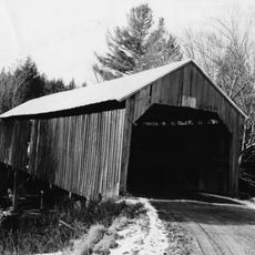
Waterman Covered Bridge
12.1 km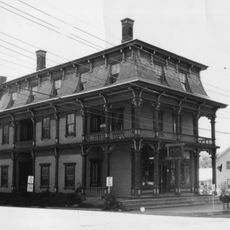
Nye Block
11.7 km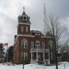
Lamoille County Courthouse
17.7 km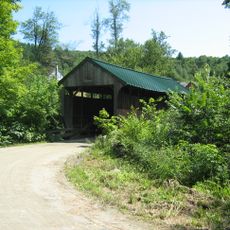
Jaynes Covered Bridge
9.4 km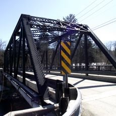
Bridge 6
11.4 km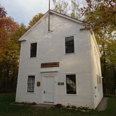
District No. 5 Schoolhouse
16 kmReviews
Visited this place? Tap the stars to rate it and share your experience / photos with the community! Try now! You can cancel it anytime.
Discover hidden gems everywhere you go!
From secret cafés to breathtaking viewpoints, skip the crowded tourist spots and find places that match your style. Our app makes it easy with voice search, smart filtering, route optimization, and insider tips from travelers worldwide. Download now for the complete mobile experience.

A unique approach to discovering new places❞
— Le Figaro
All the places worth exploring❞
— France Info
A tailor-made excursion in just a few clicks❞
— 20 Minutes