Smugglers' Notch State Park, State park in Lamoille County, Vermont.
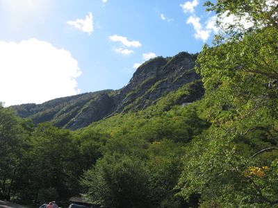
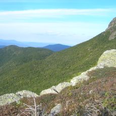
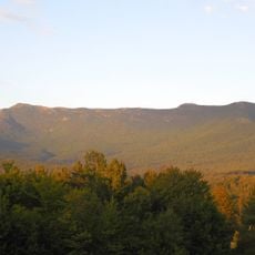
Smugglers' Notch State Park is a mountain state park near Stowe that features steep cliff faces rising hundreds of feet on each side of a narrow rocky passage. The park offers campsites, shelters, and hiking trails that wind through the rugged terrain.
The notch gained its name around 1807 when local residents used this remote mountain passage to conduct illegal trade with Canada during a government trade embargo. Smuggling activity made this place known throughout the region.
The name reflects smuggling routes that once connected to Canada, and walkers today follow the same mountain passage that traders used centuries ago. This history shapes how locals understand their geography and what the narrow valley represents.
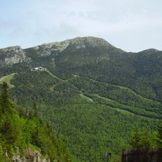
The park is best explored on foot, with hiking trails of varying difficulty that lead through the narrow rocky passage. Winter weather can force temporary closures of the mountain pass, so it helps to plan your visit around the season.
The park becomes a haven for cross-country skiers and snowmobilers during winter months when heavy snow closes the main road through the pass. This seasonal transformation turns the isolated location into a gathering place for winter sports enthusiasts.
The community of curious travelers
AroundUs brings together thousands of curated places, local tips, and hidden gems, enriched daily by 60,000 contributors worldwide.