Enable Location

We need your location to show you interesting places around you

Discover nearby places

Find interesting locations and hidden gems around you

Precise directions

Get accurate directions and distances to places

Your location is never shared with other users. It's only used when you tap the location button.

Long Trail

Log in to your account

Start exploring — it's free

Trusted by 61,331 travelers worldwide

Continue with Google
Continue with Apple
or

We will send you a code to connect

By continuing, you accept our Terms and Conditions and our Privacy Policy

Check your inbox

We've sent a pincode in your inbox. Please enter the code below.

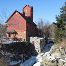
Long Trail, Long-distance trail in Green Mountains, Vermont, United States.

Description

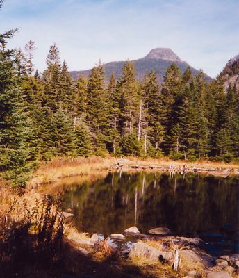
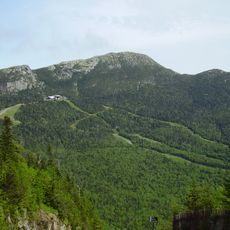
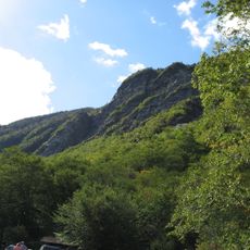
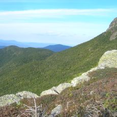
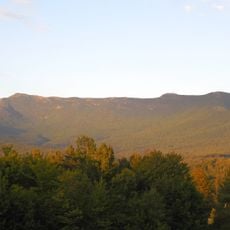
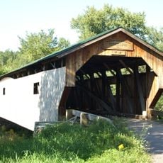
The Long Trail is a long-distance hiking route through the Green Mountains in Vermont, covering 272 miles (438 kilometers) from the Massachusetts border to Canada. It follows the main ridge and passes through dense forests, over rocky summits, and across alpine zones above the tree line.

History

The Green Mountain Club began building the route in 1910 and finished it in 1930, creating the first long-distance hiking path in the United States. Volunteers and club members have maintained and improved it ever since, ensuring its use for future generations.

Culture

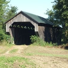
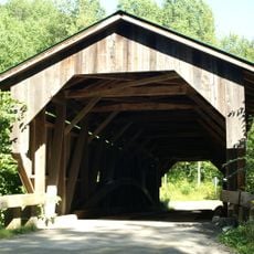
About seventy shelters along the route serve as gathering points where hikers leave entries in thick logbooks, sharing trail conditions and animal sightings with others. These books become a living record of the path, showing how people experience the journey and connect with one another.

Practical

Water sources appear roughly every five miles along the way, and hikers can restock supplies in towns such as Manchester Center and Rutland. Most sections require solid fitness and proper gear, as weather and terrain can shift quickly.

Did you know?

Six people vanished without a trace between 1945 and 1950 in the section from Woodford to Glastenbury Mountain, including college student Paula Welden in 1946. Her case remains unsolved and has given this part of the Green Mountains a mysterious reputation.

Location
GPS coordinates
44.53783,-72.79735
Latest update
December 17, 2025 08:17

AroundUs brings together thousands of curated places, local tips, and hidden gems, enriched daily by 60,000 contributors worldwide. Discover all places nearby (Vermont).

Around this place
Mount Mansfield
United States of America

Mount Mansfield

1.5 km
Gold Brook Covered Bridge
United States of America

Gold Brook Covered Bridge

14.3 km
Smugglers' Notch State Park
United States of America

Smugglers' Notch State Park

1.8 km
Vermont Ski and Snowboard Museum
United States of America

Vermont Ski and Snowboard Museum

10.3 km
Mount Mansfield State Forest
United States of America

Mount Mansfield State Forest

5.4 km
Galusha House
United States of America

Galusha House

16.3 km
Gates Farm Covered Bridge
United States of America

Gates Farm Covered Bridge

13.4 km
Underhill State Park
United States of America

Underhill State Park

3 km
Grist Mill Covered Bridge
United States of America

Grist Mill Covered Bridge

11.2 km
Red Covered Bridge
United States of America

Red Covered Bridge

9.7 km
Poland Covered Bridge
United States of America

Poland Covered Bridge

12.7 km
St. Thomas Church
United States of America

St. Thomas Church

8.9 km
Old Red Mill and Mill House
United States of America

Old Red Mill and Mill House

16.5 km
Stowe Village Historic District
United States of America

Stowe Village Historic District

11.9 km
Wilson Alwyn "Snowflake" Bentley House
United States of America

Wilson Alwyn "Snowflake" Bentley House

14.5 km
Cambridge Meetinghouse
United States of America

Cambridge Meetinghouse

12.1 km
Power House Covered Bridge
United States of America

Power House Covered Bridge

14.9 km
The Current
United States of America

The Current

12.2 km
Scribner Covered Bridge
United States of America

Scribner Covered Bridge

16.3 km
Jeffersonville Bridge
United States of America

Jeffersonville Bridge

12.7 km
Waterman Covered Bridge
United States of America

Waterman Covered Bridge

12 km
Nye Block
United States of America

Nye Block

14.2 km
Lamoille County Courthouse
United States of America

Lamoille County Courthouse

15.5 km
Morrisville Historic District
United States of America

Morrisville Historic District

15.9 km
Jericho Center Historic District
United States of America

Jericho Center Historic District

15.8 km
Bridge 6
United States of America

Bridge 6

14 km
Jericho Village Historic District
United States of America

Jericho Village Historic District

16.4 km
District No. 5 Schoolhouse
United States of America

District No. 5 Schoolhouse

8.4 km
Show the full map
« Long Trail - Long-distance trail in Green Mountains, Vermont, United States » is provided by Around Us (aroundus.com). Images and texts are derived from Wikimedia project under a Creative Commons license. You are allowed to copy, distribute, and modify copies of this page, under the conditions set by the license, as long as this note is clearly visible.

Discover hidden gems everywhere you go!

From secret cafés to breathtaking viewpoints, skip the crowded tourist spots and find places that match your style. Our app makes it easy with voice search, smart filtering, route optimization, and insider tips from travelers worldwide. Download now for the complete mobile experience.

Around Us App Screenshot

A unique approach to discovering new places

Le Figaro

All the places worth exploring

France Info

A tailor-made excursion in just a few clicks

20 Minutes

Around Us
Travel Guide & Maps
Download

Send to your phone

QR Code
1

Open the camera app on your mobile.

2

Point at the QR code with your camera. A notification will appear.

3

Tap the notification to open the link.