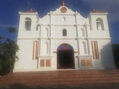
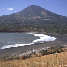
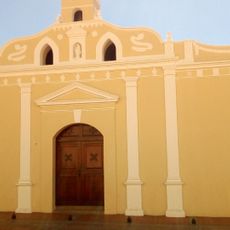
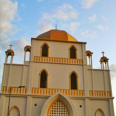
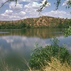
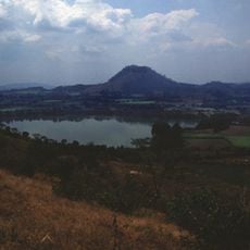
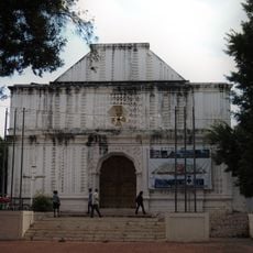
Cacaopera, Indigenous cultural site in Morazán, El Salvador.
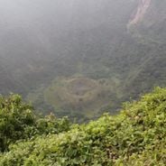
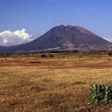
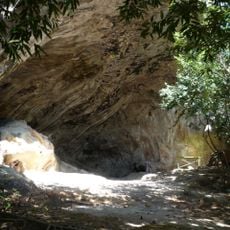
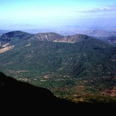
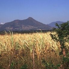
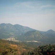
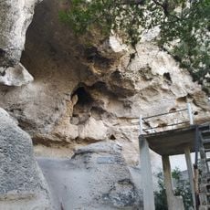
Cacaopera is a municipality in eastern El Salvador located in mountainous Morazán department. The area contains several archaeological sites with rock shelters showing petroglyphs, pictographs, and stone tools that researchers can examine.
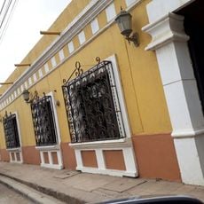
Cacaopera represents the last surviving community of the Ulúa people, who settled in eastern El Salvador before Spanish colonization. They endured colonial rule and subsequent upheavals while preserving their way of life to the present day.
The people of Cacaopera speak the Ulua language in daily life, keeping it alive through family conversations and community gatherings. Visitors can see traditional crafts like weaving and pottery being made in homes and local markets.
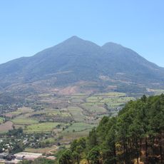
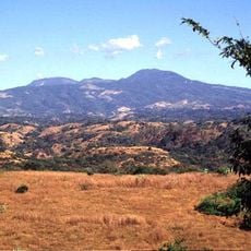
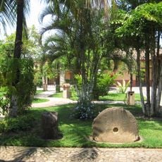
Visitors should bring warm, comfortable clothing and sturdy footwear since the mountainous terrain can be demanding. The best time to explore is during the dry season when paths are easier to navigate.
The area harbors rock shelters thousands of years old that remain unknown to most visitors. These hidden places reveal craft marks and artistic expressions left by people who lived there in ancient times.
The community of curious travelers
AroundUs brings together thousands of curated places, local tips, and hidden gems, enriched daily by 60,000 contributors worldwide.