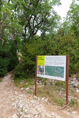
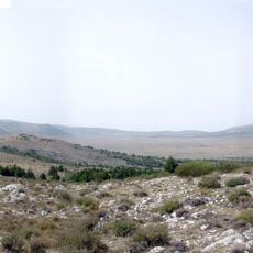
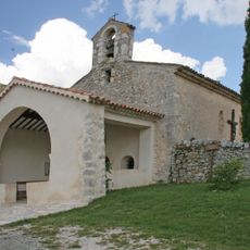
Starting Point of the Blanc-Martel Trail, Alpine trailhead in La Palud-sur-Verdon, France
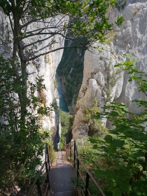
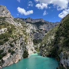
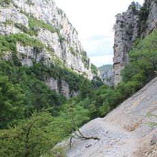
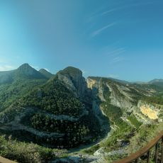
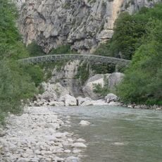
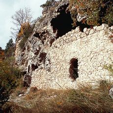
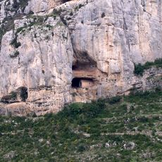
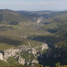
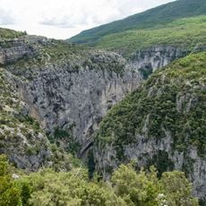
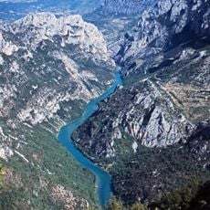
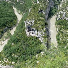
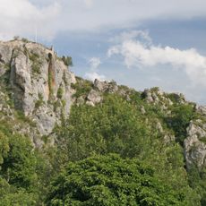
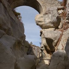
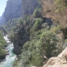
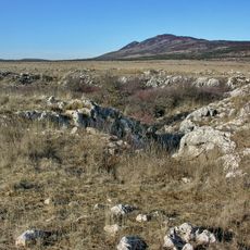
The Blanc-Martel starting point marks the beginning of a hiking path through narrow limestone canyons that leads explorers deep into Verdon Gorge. The route combines cliff-side walking sections, steep descents with stairs carved into rock, and underground passages that run alongside the turquoise river.
In 1905, explorer Edouard-Alfred Martel and teacher Isidore Blanc first mapped this route while exploring the previously unmapped gorge. Their expedition represented one of the earliest systematic attempts to document this natural landscape.
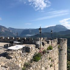
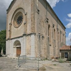
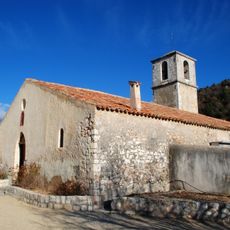
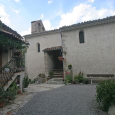
The starting point serves as a gateway to the natural world of Provence, where visitors continue a long tradition of canyon exploration. People from around the world gather here to experience this classic route and connect with the river and cliffs.
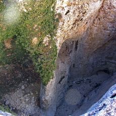
Visitors should bring a flashlight or headlamp for the underground tunnel sections and carry at least 2 liters of water for the day. Arriving early in the morning offers the best conditions for exploring and helps avoid crowds on the route.
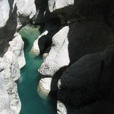
The route passes through several underground tunnels where visitors must use flashlights to illuminate their surroundings. These hidden passages make this path distinctly different from other hiking routes in the region.
The community of curious travelers
AroundUs brings together thousands of curated places, local tips, and hidden gems, enriched daily by 60,000 contributors worldwide.