Žďárské vrchy Protected Landscape Area, Natural reserve in Pardubický kraj, Czech Republic
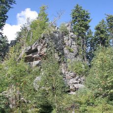
The Žďárské vrchy Protected Landscape Area covers 709 km² of the Českomoravská vrchovina highlands between Hlinsko, Přibyslav, Žďár nad Sázavou, Nové Město na Moravě and Polička, from 492 to 836 m. Its highest point is Devět skal. Summits are mostly rounded, often with rock blocks, slopes gentle and valleys shallow and wide.
The protected landscape area was declared on 30 July 1970; its administration sits in Žďár nad Sázavou and a House of Nature stands in Krátká. It covers 709 km² of the upper, north-eastern Bohemian-Moravian Highlands, from 492 m up to the summit of Devět skal at 836 m.
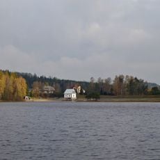
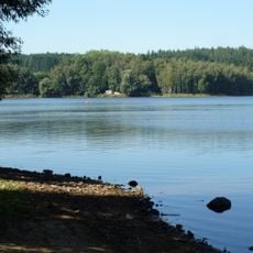
The name Žďárské vrchy refers to the hills around Žďár nad Sázavou, where the protected area's administration has its seat; a Dům přírody (House of Nature) opened in Krátká serves as the visitor centre. The area is known for ponds such as Velké Dářko and for the springs of the Sázava, Chrudimka, Doubrava, Svratka and Oslava rivers.
Access is spread across the five surrounding towns, so pick a base and drive between trailheads; the administration in Žďár nad Sázavou and the Dům přírody in Krátká are the orientation points. About half the area is spruce forest, and the peat bogs and wet meadows are the most sensitive ground. The climate is colder, wetter and windier than the lowlands, so bring layers.
The protected area straddles the European watershed between the Black Sea and the North Sea, and five rivers rise within it: the Sázava, Chrudimka, Doubrava, Svratka and Oslava. Its highest point is Devět skal at 836 m, while the lowest ground lies at 492 m.
The community of curious travelers
AroundUs brings together thousands of curated places, local tips, and hidden gems, enriched daily by 93,998 contributors worldwide.