Otay Mountain, Mountain summit in San Diego County, United States.
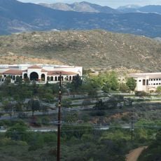
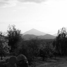
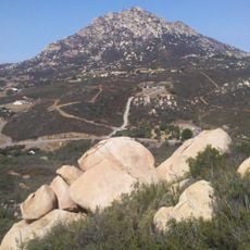
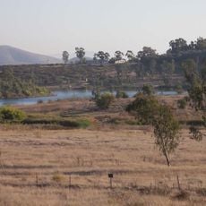
Otay Mountain is the highest summit of the San Ysidro Mountains in San Diego County, California, reaching 3,566 feet (1,087 m). It lies within the Otay Mountain Wilderness, and the Mexico–United States border runs along its south face. The mountain rises above the surrounding terrain and is covered in chaparral vegetation.
The Kumeyaay name Otai, meaning "it is big" or "the big place", gave the mountain its name. On March 16, 1991, a Hawker Siddeley HS-125 carrying seven members of Reba McEntire's band, her business manager and two pilots crashed into the mountain after taking off from Brown Field Municipal Airport, killing all ten on board. Wildfires burned the plant life completely in 2003 and again in 2007.
The name Otay derives from the Kumeyaay word Otai, meaning "it is big" or "the big place"; sources also record variants Ohatay, Otaÿ and Mataotay. The Kumeyaay are the indigenous people of the San Diego region, and the mountain's name preserves their language in the landscape.
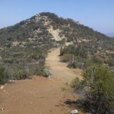
Several trails climb to the summit through the wilderness area, offering different route options for hikers. Prepare well for this remote location by bringing plenty of water and sturdy footwear, as services are sparse.
The 1991 crash of a Hawker Siddeley HS-125 killed all ten aboard, including seven members of Reba McEntire's band and her business manager; the plane went down after taking off from Brown Field Municipal Airport. The border fence along the south face has been estimated at about $16 million per mile, and author Rob Davis criticised its dust and its effect on a butterfly species.
The community of curious travelers
AroundUs brings together thousands of curated places, local tips, and hidden gems, enriched daily by 93,583 contributors worldwide.