Chest opened
+${chestReward.xp} XP
Explorer
NOUVEAU ×${chestReward.collectible.quantity}
tapez pour fermer

See the monuments around you in AR Open chests in the app

Around Us is built for your phone — point your camera at the streets and discover the monuments and places around you in augmented reality. Around Us is built for your phone — chests unlock when you walk, explore and capture nearby places.

Enable Location

We need your location to show you interesting places around you

Discover nearby places

Find interesting locations and hidden gems around you

Precise directions

Get accurate directions and distances to places

Your location is never shared with other users. It's only used when you tap the location button.

Log in to your account

Start exploring — it's free

Trusted by 86,381 travelers worldwide

Continue with Google
Continue with Apple
or

We will send you a code to connect

By continuing, you accept our Terms and Conditions and our Privacy Policy

Check your inbox

We've sent a pincode in your inbox. Please enter the code below.

Guadalupe Outlier
Discussion Reviews Photo
1.2k Popularity

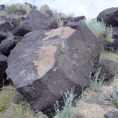
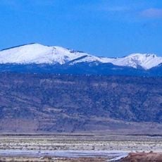
Guadalupe Outlier, Archaeological site in Chaco Culture National Historical Park, United States

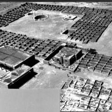
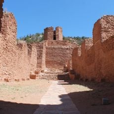
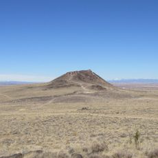
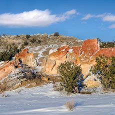
Guadalupe Outlier is an archaeological site situated on a high mesa with stone room structures and seven ceremonial kivas built into its layout. The ruins command views of the Rio Puerco valley and stand apart from the main canyon settlements.

The site was inhabited from 920 to 1130 AD during the height of Chacoan influence in the region. Later populations from the Mesa Verde culture eventually settled in the area after the initial occupation ended.

The settlement displays pottery styles and building methods that reflected local preferences while maintaining trade links with Chaco Canyon. People here adapted regional traditions to their mesa location and way of life.

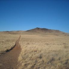
Reaching this site requires driving on unpaved roads followed by a steep uphill walk to the mesa top. The terrain is open and exposed, so bring sturdy shoes and plenty of water for the climb.

This is the easternmost known settlement of the Chaco network, located more than 100 kilometers from the main canyon. The distance reveals how far the regional culture extended across the landscape.

The community of curious travelers

AroundUs brings together thousands of curated places, local tips, and hidden gems, enriched daily by 60,000 contributors worldwide.
Start exploring
GPS coordinates
35.51806,-107.12639
Latest update
September 11, 2026 22:09
Around this place
Petroglyph National Monument
United States of America

Petroglyph National Monument

34.2 mi
Mount Taylor
United States of America

Mount Taylor

33.4 mi
Fenton Lake State Park
United States of America

Fenton Lake State Park

33.8 mi
Coronado State Monument
United States of America

Coronado State Monument

34.6 mi
Rio Grande Nature Center State Park
United States of America

Rio Grande Nature Center State Park

36.8 mi
Anderson-Abruzzo Albuquerque International Balloon Museum
United States of America

Anderson-Abruzzo Albuquerque International Balloon Museum

37.5 mi
Jemez Historic Site
United States of America

Jemez Historic Site

30.5 mi
Jemez Falls
United States of America

Jemez Falls

35.8 mi
Vulcan
United States of America

Vulcan

32.9 mi
Ojito Wilderness
United States of America

Ojito Wilderness

12.8 mi
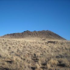
Black Volcano
United States of America

Black Volcano

33.3 mi
Rio Puerco Bridge
United States of America

Rio Puerco Bridge

35.1 mi
JA volcano
United States of America

JA volcano

33.6 mi
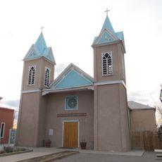
Our Lady of Sorrows Church
United States of America

Our Lady of Sorrows Church

35.6 mi
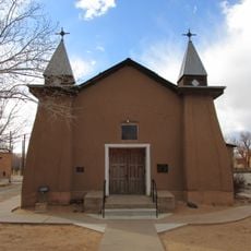
San Ysidro Church
United States of America

San Ysidro Church

34.9 mi
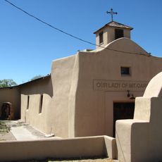
Our Lady of Mt. Carmel Church
United States of America

Our Lady of Mt. Carmel Church

37.5 mi
United States of America

San Jose de la Laguna Mission and Convento

36.6 mi
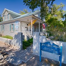
Juan Chavez House
United States of America

Juan Chavez House

37.1 mi
Los Candelarias Chapel
United States of America

Los Candelarias Chapel

37.6 mi
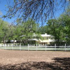
Robert Dietz Farmhouse
United States of America

Robert Dietz Farmhouse

36.8 mi
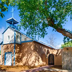
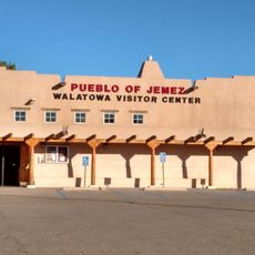
Walatowa Visitor Center
United States of America

Walatowa Visitor Center

24.2 mi
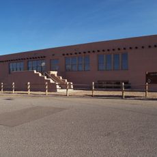
Roosevelt School
United States of America

Roosevelt School

35.6 mi
Adrian Barela House
United States of America

Adrian Barela House

36.5 mi
Felipe Romero House
United States of America

Felipe Romero House

37.7 mi
Rumaldo Chavez House
United States of America

Rumaldo Chavez House

37.1 mi
New Mexico Slaughter House
United States of America

New Mexico Slaughter House

34.5 mi
Bodhi Manda Zen Center
United States of America

Bodhi Manda Zen Center

30.3 mi
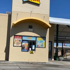
Sonic
United States of America

Sonic

35 mi
Show the full map
Reviews
Share your experience

No review yet

Discussions
Start a discussion...

No discussion yet

« Guadalupe Outlier - Archaeological site in Chaco Culture National Historical Park, United States » is provided by Around Us (aroundus.com). Images and texts are derived from Wikimedia project under a Creative Commons license. You are allowed to copy, distribute, and modify copies of this page, under the conditions set by the license, as long as this note is clearly visible.

Discover hidden gems everywhere you go!

From secret cafés to breathtaking viewpoints, skip the crowded tourist spots and find places that match your style. Our app makes it easy with voice search, smart filtering, route optimization, and insider tips from travelers worldwide. Download now for the complete mobile experience.
Around Us App Screenshot

A unique approach to discovering new places

Le Figaro

All the places worth exploring

France Info

A tailor-made excursion in just a few clicks

20 Minutes

Around Us
Travel Guide & Maps
Download

Send to your phone

QR Code
1

Open the camera app on your mobile.

2

Point at the QR code with your camera. A notification will appear.

3

Tap the notification to open the link.