
Lake Providence Commercial Historic District
Lake Providence Commercial Historic District, historic district in Lake Providence, Louisiana
Location: Lake Providence
Address: Lake Street, Riverside Drive, and Scarborough Street
GPS coordinates: 32.80472,-91.17000
Latest update: March 3, 2025 09:38
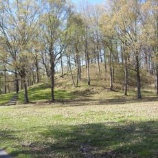
Poverty Point
29.3 km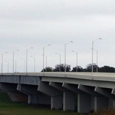
Greenville Bridge
53.7 km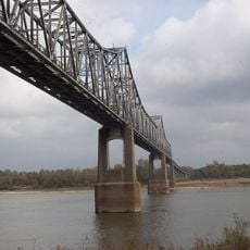
Benjamin G. Humphreys Bridge
54.4 km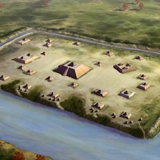
Holly Bluff Site
45.6 km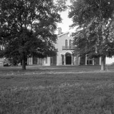
Mount Holly
34.6 km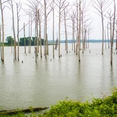
Poverty Point Reservoir State Park
47 km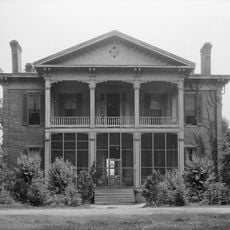
Belmont Plantation
53.3 km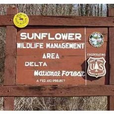
Delta National Forest
37.8 km
5th United States Colored Heavy Artillery Regiment
41.1 km
Fitzhugh Mounds
54.5 km
Leroy Percy State Park
45.4 km
Crescent Plantation
48.6 km
Junius R. Ward House
35.2 km
Hermione
44 km
Scottland Plantation House
44.9 km
Montrose Plantation House
53.6 km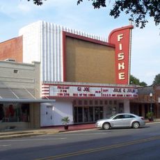
Fiske Theatre
21.3 km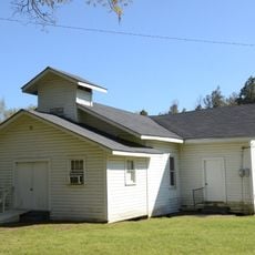
First Baptist Church
33.1 km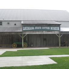
Louisiana State Cotton Museum
4 km
Raffman Site
40.4 km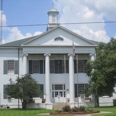
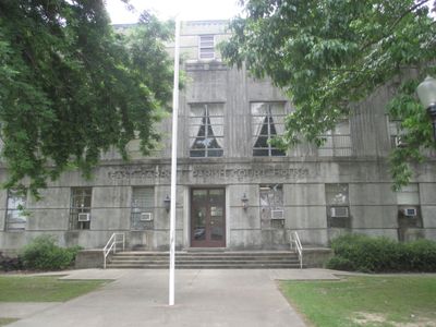
Madison Parish Courthouse
44.2 km
American Legion Post No. 127 Building
35.1 km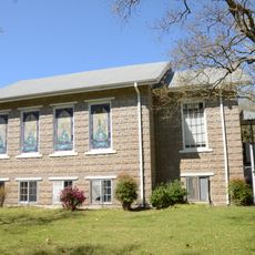
Parkdale Methodist Church
49.9 km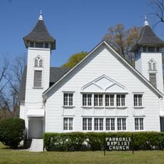
Parkdale Baptist Church-AS0051
50.1 km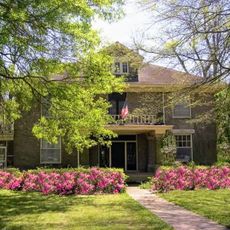
Dr. M.C. Hawkins House
49.8 km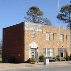
Eudora City Hall
35.1 km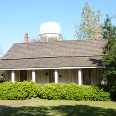
Dr. A.G. Anderson House
35 km
Kings Crossing Site
54.7 kmVisited this place? Tap the stars to rate it and share your experience / photos with the community! Try now! You can cancel it anytime.
Discover hidden gems everywhere you go!
From secret cafés to breathtaking viewpoints, skip the crowded tourist spots and find places that match your style. Our app makes it easy with voice search, smart filtering, route optimization, and insider tips from travelers worldwide. Download now for the complete mobile experience.

A unique approach to discovering new places❞
— Le Figaro
All the places worth exploring❞
— France Info
A tailor-made excursion in just a few clicks❞
— 20 Minutes