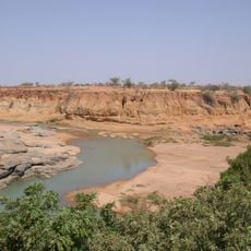
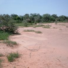
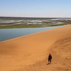
17th parallel north, Circle of latitude in Ben Hai River region, Vietnam.
The 17th parallel north is a geographical line that circles the Earth and passes through Vietnam's Ben Hai River region. This latitude line is marked by physical features like the river and by monuments that show where it exists on the landscape.
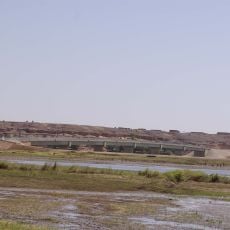
After the 1954 Geneva Accords, this latitude became a military line that split the country in two, meant to be temporary. The separation lasted for more than two decades until the two territories reunited.
The line divided families and communities for more than two decades, leaving a deep mark on how people experienced their homeland. Today, local residents and visitors reflect on how this geographical boundary shaped their sense of place and identity.
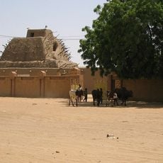
The Ben Hai River and the Hien Luong Bridge are the main places to see the line and learn its history. The area is easy to reach, but a guided tour helps visitors understand the meaning of the sites and their role in this specific period.
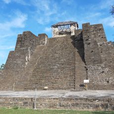
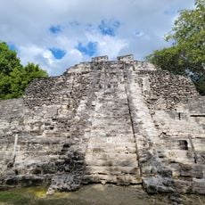
This latitude line runs through many countries around the world, including China, Oman, and Mexico, not just Vietnam. While the Vietnam story is well known, few visitors realize that the same geographical line marks boundaries and regions across multiple continents.
The community of curious travelers
AroundUs brings together thousands of curated places, local tips, and hidden gems, enriched daily by 60,000 contributors worldwide.