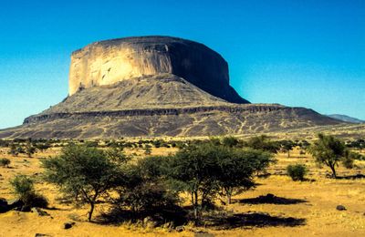
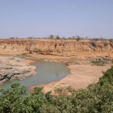
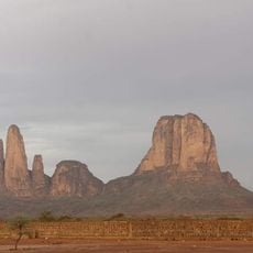
Hombori Tondo, Mountain summit in Cercle de Douentza, Mali.
Hombori Tondo is the highest point in Mali, rising to 1,155 meters above sea level. The mountain features a broad summit area with a plateau surrounded by steep cliffs.
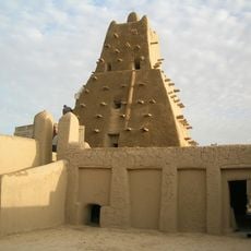
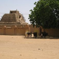
The mountain and surrounding caves show evidence of human settlements dating back roughly 2,000 years. These ancient occupation patterns suggest the region was inhabited for a long time.
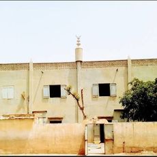
Local people use traditional naming practices for geographical features, with 'Tondo' meaning peak in their language. This name remains central to how residents talk about and relate to the landscape around them.
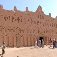
The best time to climb is during cooler months when the weather is more stable and the ascent is more comfortable. Local guides from the village of Hombori can show the route and help you understand conditions along the way.
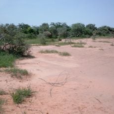
The summit area supports a notably high diversity of plant species, while the surrounding lowland region has far fewer kinds. This concentration results from the special conditions found at higher elevation.
Location: Cercle de Douentza
Address: Mount Hombori, Mali
GPS coordinates: 15.25703,-1.66737
Latest update: December 6, 2025 19:08
Mali features earthen mosques, ancient archaeological sites, noteworthy geological formations and natural parks. The cities of Timbuktu, Djenné, and Gao have religious and historical mud-brick architecture. The country also has waterfalls, ancient caves, and colonial monuments. National parks and nature reserves are home to local wildlife. The architectural heritage includes historic mosques, traditional fortifications, and administrative buildings from the colonial period.
Timbuktu
220.9 km
Sankore Madrasah
221.6 km
Djinguereber Mosque
221.5 km
Bandiagara Escarpment
200.6 km
Tomb of Askia
208.4 km
Sidi Yahya Mosque
221.4 km
Bura culture
282.2 km
Ounjougou
182.2 km
Musée de Manega
261.3 km
Sylvo-Pastoral and Partial Faunal Reserve of the Sahel
159.9 km
Wabaria bridge
204.3 km
Mopti Grand Mosque
285.1 km
St. Joseph Cathedral, Mopti
284.7 km
Mosquée de Kani-Kombolé
240.6 km
Rene Caille House
221.4 km
Timbuktu
221.5 km
Sculptures sur Granit de Laongo
305.6 km
Gordon Laing House
221.5 km
Museo Sergio Castro
242.9 km
Maison des Jeunes et de la Culture de Téra
295.8 km
Regional Council of the Timbuktu Region
219.7 km
Sankore Mosquee
221.6 km
La Dune Rose
208.9 km
Le Bassin du fleuve Niger (du seuil de Markala au lac Débo)
252.3 km
Mosquée Souble Salam de Taïkiri
285.4 km
Tomb of Askia Unesco world heritage site
208.4 km
Main de Fatima
14.7 km
Mosquée de Bani
179.5 kmReviews
Visited this place? Tap the stars to rate it and share your experience / photos with the community! Try now! You can cancel it anytime.
Discover hidden gems everywhere you go!
From secret cafés to breathtaking viewpoints, skip the crowded tourist spots and find places that match your style. Our app makes it easy with voice search, smart filtering, route optimization, and insider tips from travelers worldwide. Download now for the complete mobile experience.
A unique approach to discovering new places❞
— Le Figaro
All the places worth exploring❞
— France Info
A tailor-made excursion in just a few clicks❞
— 20 Minutes