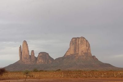
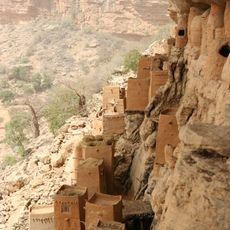
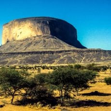
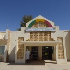
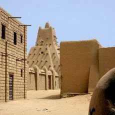
Main de Fatima, Rock formation in Tombouctou region, Mali
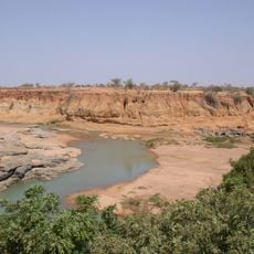
Main de Fatima consists of five sandstone towers rising roughly 600 meters from the savanna below, creating a striking silhouette against the sky. The rocks show different layers and erosion patterns that reveal millions of years of geological activity.
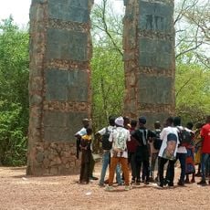
The formation developed through natural erosion over millions of years and became a landmark along regional trade routes crossing West Africa. Over centuries, it served as a natural reference point for travelers and communities passing through the region.
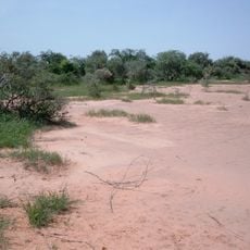
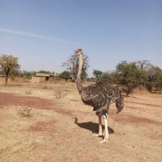
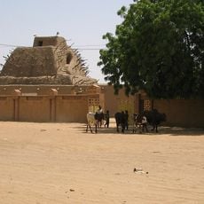
Local communities practice seasonal cattle herding on the plains surrounding the formation. Visitors walking around can observe how the landscape serves as part of their everyday pastoral way of life.
The dry season from November to February offers the best conditions for visiting, with easier ground and clearer skies for viewing the towers. Local guides from nearby villages can assist with navigation and share knowledge about the surroundings.
Each of the five towers has different mineral compositions that create varying colors depending on the sun's position throughout the day. These shifting hues make the site particularly engaging when viewed at different times.
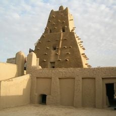
The community of curious travelers
AroundUs brings together thousands of curated places, local tips, and hidden gems, enriched daily by 60,000 contributors worldwide.