18th parallel north, circle of latitude
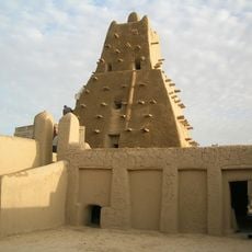
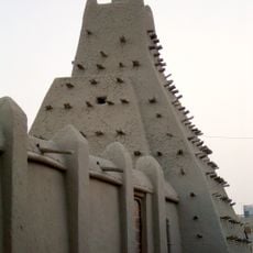
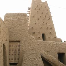
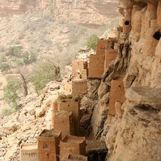
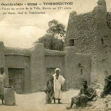
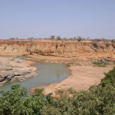
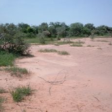
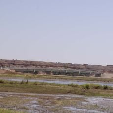
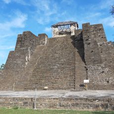
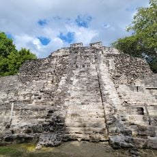
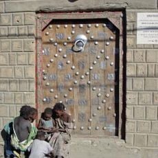
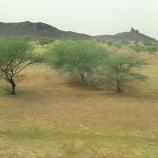
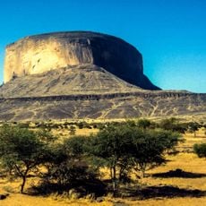
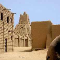
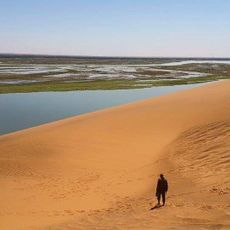
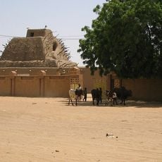
The 18th parallel north is a circle of latitude that runs around the Earth approximately 18 degrees above the equator, crossing Africa, Asia, Central America, and the Caribbean. This imaginary line passes through diverse landscapes including deserts, coastlines, and tropical regions, connecting many different countries and countless variations in terrain and climate.
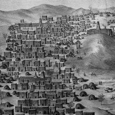
This circle of latitude gained historical importance through its use as a geographic reference in maps and boundary agreements between nations. It served as a dividing line during major conflicts, such as the partition of Vietnam during World War II, and marked contested zones in various regional disputes.
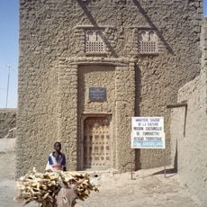
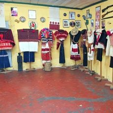
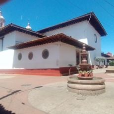
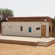
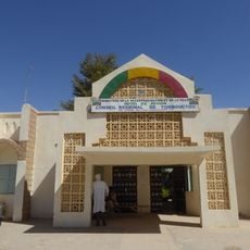
Communities along this line have deep connections to their natural surroundings, with daily life shaped by farming, fishing, and seasonal rhythms. Local markets, traditions, and gathering places show how people adapt their customs to tropical and warm climates.
Travelers along this line should note that daylight lasts about 13 hours during summer months and just over 11 hours in winter. The climate is warm year-round with distinct wet and dry seasons that significantly affect the landscape and daily routines of local communities.
Beyond its role as a mapping tool, this line held practical significance in defining borders and zones of influence between countries and regions throughout history. Its use demonstrates how abstract geographic concepts can translate into tangible political and territorial consequences.
The community of curious travelers
AroundUs brings together thousands of curated places, local tips, and hidden gems, enriched daily by 60,000 contributors worldwide.