20th parallel north, Circle of latitude at 20 degrees north, Earth.
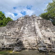
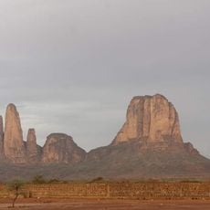
The 20th parallel north is an imaginary line circling Earth that passes through 19 countries across Africa, Asia, North America, and the Caribbean. It serves as a geographical reference for mapping and territorial boundaries.
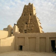
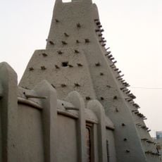
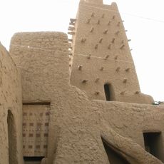
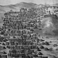
This line emerged as a geographical reference during mapping efforts in the 18th century. It has been used historically to define territorial boundaries between nations.
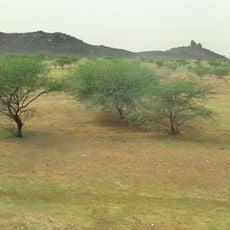
The regions along this line have developed farming traditions suited to their local climate. Agricultural methods vary greatly, from crops grown in monsoon areas to techniques used in drier zones.
The length of daylight shifts significantly with the seasons as you follow this line around Earth. Summer days are considerably longer than winter days at this latitude.
The line passes through three major oceans and several seas, including the Red Sea, creating interesting maritime crossings. It connects distant continents in a way that highlights how geography divides and links the world.
The community of curious travelers
AroundUs brings together thousands of curated places, local tips, and hidden gems, enriched daily by 60,000 contributors worldwide.