Geography of Mauritania, Desert landscape in northwestern Africa.
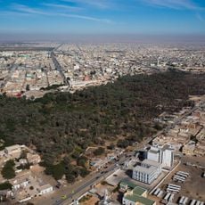
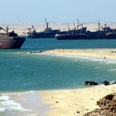
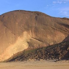
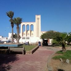
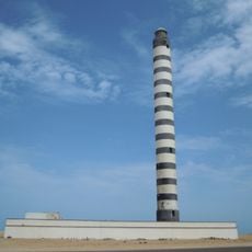
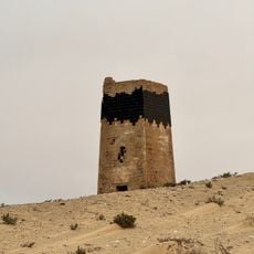
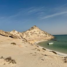
Mauritania's geography comprises flat sandy plains, rocky plateaus, and an Atlantic coastline with scattered oases. The land spans various landscapes, ranging from desert regions to coastal areas with cooler conditions.
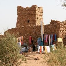
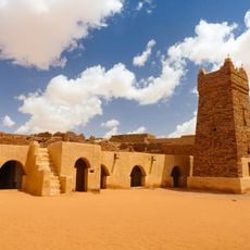
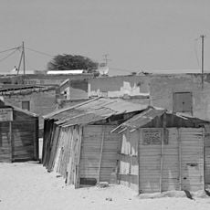
The landscape shaped how people lived for centuries, especially as nomads moved through the desert. Severe droughts in the 1970s transformed this way of life and forced many populations to settle permanently.
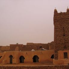
The land divides into different ecological zones that shape where communities settle and how people live. Arabic speakers inhabit the northern regions while Wolof, Soninke, and Fula speakers occupy the southern areas.
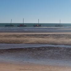
Temperatures swing dramatically between day and night, so bring warm clothing for evenings. The best time to visit is between November and February when coastal areas are most comfortable.
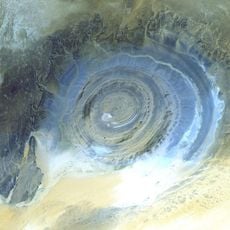
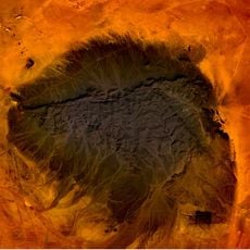
A remarkable geological formation called Guelb er Richat creates a circular pattern of concentric rings. This natural feature is so large that it remains visible from satellites orbiting Earth.
The community of curious travelers
AroundUs brings together thousands of curated places, local tips, and hidden gems, enriched daily by 60,000 contributors worldwide.