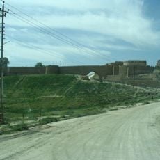
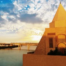
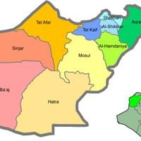
Nineveh Governorate, Administrative region in northern Iraq
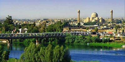
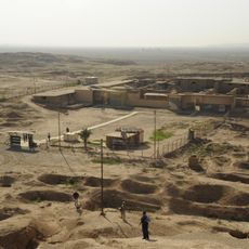
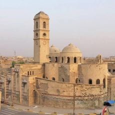
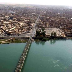
Nineveh Governorate is an administrative region in northern Iraq that stretches along the Tigris River between flat plains and the foothills of the Zagros Mountains. The landscape shifts from fertile farmland in the valley to rocky hills in the east, while several cities and smaller towns mark the districts.
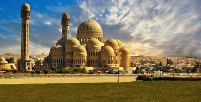
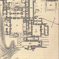
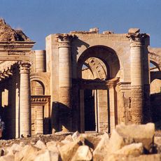
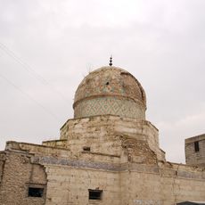
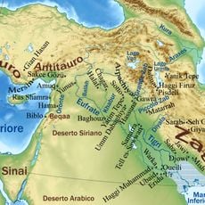
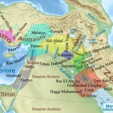
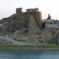
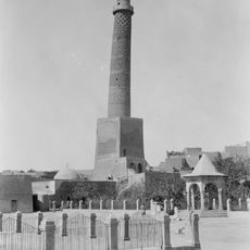
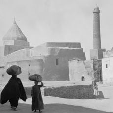
The region takes its name from the Assyrian capital that was among the largest cities of its time around 2,700 years ago and was later destroyed. In the following centuries different empires and rulers changed control until the area became an Iraqi administrative division in the 20th century.
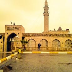
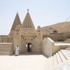
The name comes from the ancient Assyrian city and now marks a region where diverse communities live side by side, celebrating different festivals and speaking several languages in their daily routines. Local markets display crafts and food traditions passed down through generations in each district.
Travelers should check current security advice and obtain permits in advance, as access to certain districts may be restricted. Local connections and orientation are easier with guidance from residents or registered tour operators familiar with the area.
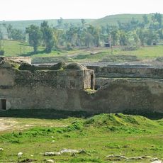
Near Tel Afar there are underground water channels from pre-Islamic times that still irrigate parts of the rural areas today. These systems show old engineering methods that worked across centuries and allowed farming in dry zones.
The community of curious travelers
AroundUs brings together thousands of curated places, local tips, and hidden gems, enriched daily by 60,000 contributors worldwide.