Tunku Abdul Rahman National Park, Marine national park off Kota Kinabalu, Malaysia
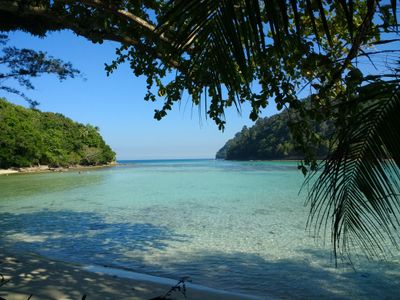
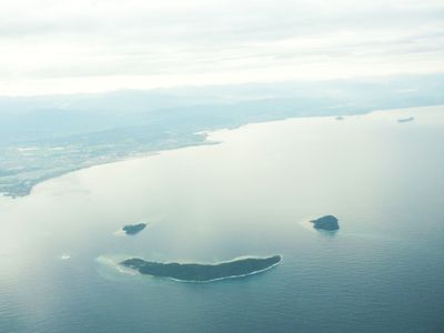
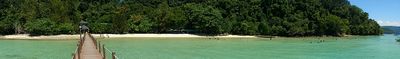
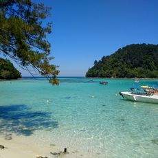
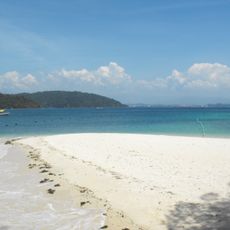
The national park spreads across roughly 4,900 hectares on five islands—Gaya, Sapi, Manukan, Mamutik, and Sulug—encompassing marine and terrestrial environments. The landscape features coral reefs, sandy beaches, and forested hills that create a diverse ecosystem.
The islands formed roughly one million years ago when rising sea levels separated them from the Crocker Range. This geological separation created distinct landforms and isolated ecosystems on each island.
The island names hold local meaning: Gaya means big, Manukan references fish, and Sulug honors the Sulu peoples of Sabah. These names reflect how communities have understood and named the landscape for generations.
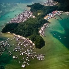
Visitors reach the park by regular boat services from Jesselton Point in Kota Kinabalu, with daily operations from 8:00 AM to 5:00 PM. Travel time ranges from 15 to 30 minutes depending on destination islands and weather conditions.
Gaya Island offers roughly 20 kilometers of hiking trails through pristine tropical forest that has been protected since 1923. These old forests harbor rare bird species and wildlife found in few other areas of the region.
The community of curious travelers
AroundUs brings together thousands of curated places, local tips, and hidden gems, enriched daily by 60,000 contributors worldwide.