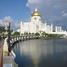
Sabah, Administrative region in northern Borneo, Malaysia
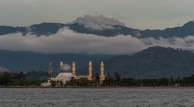
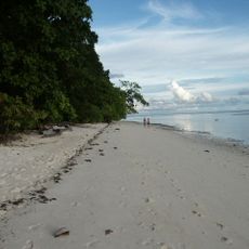
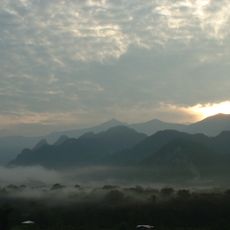
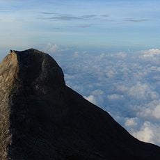
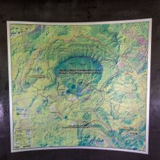
Sabah is an administrative region in the northern part of the island of Borneo in Malaysia, stretching across mountains, rainforests, rivers and coastal strips between the South China Sea and the Sulu Sea. The terrain includes high peaks rising over 4000 meters (13,000 feet), lowland plains with oil palm plantations and mangrove forests lining numerous river estuaries.
The region was under the authority of the Bruneian Sultanate before it was transferred to the British North Borneo Chartered Company in the 19th century. In 1963 it joined the new federation of Malaysia as a state, marking the end of colonial administration.
Indigenous groups such as Kadazan-Dusun, Bajau and Murut maintain their own languages, harvest festivals and wedding ceremonies that involve traditional dress, dance and rice wine. Visitors can experience these customs at village gatherings where communities perform music with gongs and drums and serve local dishes prepared according to recipes passed down through generations.
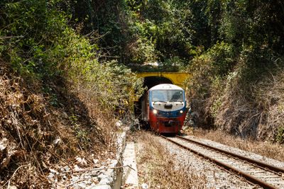
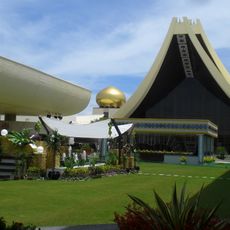
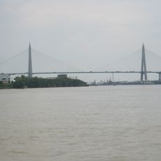
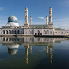
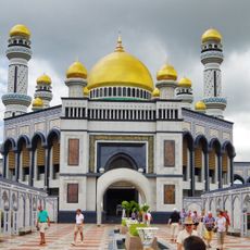
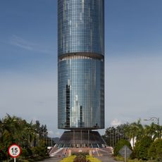
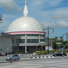
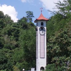
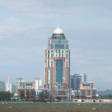
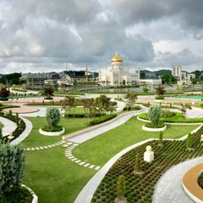
The region is divided into 26 administrative districts, with Kota Kinabalu serving as the capital that has an airport and ferry connections to other parts of Borneo. The climate is tropical with frequent rain, so travelers should bring weatherproof clothing and insect repellent, especially when visiting forest areas or rural locations.
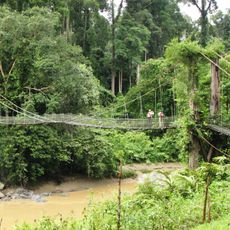
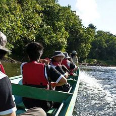
The Kinabatangan Wildlife Sanctuary protects wild Borneo elephants, orangutans and proboscis monkeys in forest corridors along the river. Visitors can observe these animals on river journeys when they come to the banks in the evening to drink or forage in trees.
The community of curious travelers
AroundUs brings together thousands of curated places, local tips, and hidden gems, enriched daily by 60,000 contributors worldwide.