National Park Pahang, Protected rainforest in Pahang, Malaysia
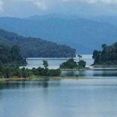
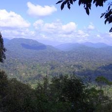
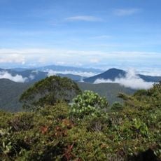
Taman Negara is a 4,343 km2 rainforest park spanning Pahang, Kelantan and Terengganu, mostly gentle hills below 300 m cut by the Lebir, Terengganu and Tembeling rivers. Its Tahan Range holds Mount Tahan, at 2,187 m the highest point of Peninsular Malaysia. The canopy is lowland dipterocarp forest, with montane forest on the higher slopes.
The park was created as King George V National Park in 1938 and 1939 after Theodore Hubback lobbied the sultans of Pahang, Terengganu and Kelantan to protect land across the three states. Separate enactments were passed for each state, such as Pahang No. 2 of 1939. After independence in 1957 it was renamed Taman Negara, Malay for "national park".
The park lies on the traditional lands of several Orang Asli groups, including the Batek, who still live on its periphery. Section 15(c) of the Pahang Enactment 2/1939 recognises their use rights, and six groups are listed: Ple, Temiar, Ple-Temiar, Senoi, Semang and Pangan. Visitors can join tours to an Orang Asli village near Kuala Tahan.
All visitors must obtain a permit from the Department of Wildlife and National Parks. The usual route from Kuala Lumpur is a 3–4 hour bus ride to Jerantut and Kuala Tembeling Jetty, then a 2.5 hour boat ride up the Tembeling to Kuala Tahan; boats leave Kuala Tembeling at 9.00 and 15.00, and at 14.30 on Fridays.
An elevated walkway leads through the treetops and allows observation of animals and plants at heights that are otherwise difficult to reach. The structure protects the forest floor and lets visitors experience the layers of the rainforest up close.
The community of curious travelers
AroundUs brings together thousands of curated places, local tips, and hidden gems, enriched daily by 94,045 contributors worldwide.