·

Enable Location

We need your location to show you interesting places around you

Discover nearby places

Find interesting locations and hidden gems around you

Precise directions

Get accurate directions and distances to places

Your location is never shared with other users. It's only used when you tap the location button.

Lambir Hills National Park

Log in to your account

Start exploring — it's free

Trusted by 62,647 travelers worldwide

Continue with Google
Continue with Apple
or

We will send you a code to connect

By continuing, you accept our Terms and Conditions and our Privacy Policy

Check your inbox

We've sent a pincode in your inbox. Please enter the code below.

Lambir Hills National Park

Lambir Hills National Park, National park with dipterocarp forest in Sarawak, Malaysia

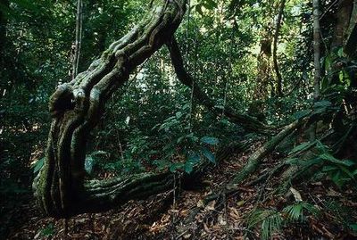
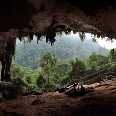
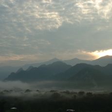
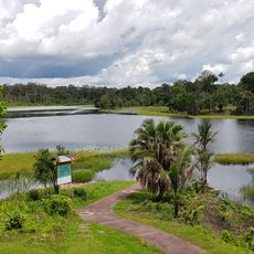
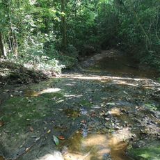
Lambir Hills is a national park in Sarawak with dense forests and hilly terrain ranging from about 150 to 465 meters in elevation. The park features countless tree species spread across the landscape, with color-coded trails that connect different areas and lead to multiple waterfalls throughout the reserve.

The park was established in 1975 to protect the native forests and their ecosystems. In the decades that followed, it became a site for international research projects focused on studying the region's forest systems in detail.

The park serves as a major research hub where scientists document tropical biodiversity, and this scientific focus shapes how the forest is managed and protected. Visitors can sense this conservation purpose while walking through the trails, where the landscape is monitored and preserved specifically for ecological study.

The park is located roughly 30 kilometers from Miri city and is easily accessible by road. Visitors should wear sturdy shoes and bring plenty of water, as the trails can be challenging and pass through hilly terrain with varying difficulty levels.

The park's tallest trees host wild honeybees that build their nests high in the canopy, creating natural hives that can be spotted from below. These enormous tapang trees reach heights of over 80 meters, making them among the tallest structures in the entire forest.

The community of curious travelers

AroundUs brings together thousands of curated places, local tips, and hidden gems, enriched daily by 60,000 contributors worldwide.

Start exploring
Inception
1975
GPS coordinates
4.21300,114.03000
Latest update
December 10, 2025 16:28
« Lambir Hills National Park - National park with dipterocarp forest in Sarawak, Malaysia » is provided by Around Us (aroundus.com). Images and texts are derived from Wikimedia project under a Creative Commons license. You are allowed to copy, distribute, and modify copies of this page, under the conditions set by the license, as long as this note is clearly visible.

Discover hidden gems everywhere you go!

From secret cafés to breathtaking viewpoints, skip the crowded tourist spots and find places that match your style. Our app makes it easy with voice search, smart filtering, route optimization, and insider tips from travelers worldwide. Download now for the complete mobile experience.

Around Us App Screenshot

A unique approach to discovering new places

Le Figaro

All the places worth exploring

France Info

A tailor-made excursion in just a few clicks

20 Minutes

Around Us
Travel Guide & Maps
Download

Send to your phone

QR Code
1

Open the camera app on your mobile.

2

Point at the QR code with your camera. A notification will appear.

3

Tap the notification to open the link.